Kure Beach in New Hanover County, North Carolina — The American South (South Atlantic)
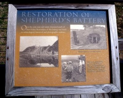
Restoration of Shepherd’s Battery
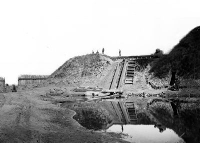
Over the years man and nature destroyed much of Fort Fisher. Restoration of this battery was based on archaeological, historical, and photographic evidence.
Erected by Fort Fisher State Historic Site. (Marker Number 7.)
Topics. This historical marker is listed in these topic lists: Forts and Castles • War, US Civil.
Location. 33° 58.323′ N, 77° 55.201′ W. Marker is in Kure Beach, North Carolina, in New Hanover County. Marker can be reached from Fort Fisher Boulevard South (U.S. 421) near Battle Acre Road. This marker is located along the quarter-mile tour trail at Fort Fisher State Historic Site. Touch for map. Marker is at or near this postal address: 1610 Fort Fisher Boulevard South, Kure Beach NC 28449, United States of America. Touch for directions.
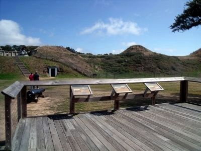
Other nearby markers. At least 8 other markers are within walking distance of this marker. Shepherd’s Battery (here, next to this marker); Shepherd’s Bombproof (here, next to this marker); a different marker also named Shepherd’s Battery (within shouting distance of this marker); River Road Sally Port (within shouting distance of this marker); Union Fiasco - The First Battle (about 300 feet away, measured in a direct line); Capture! (about 400 feet away); Lamb Expands the Fort, 1862-1865 (about 400 feet away); Growth of Fort Fisher, 1861-1862 (about 500 feet away). Touch for a list and map of all markers in Kure Beach.
More about this marker. On the left is a period photo of the fort entrance at the northwest end of the land face.
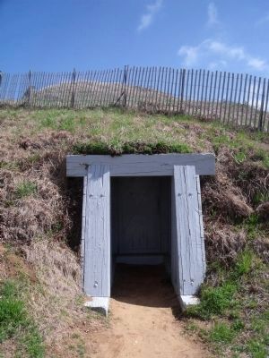
On the upper right is a photo with the caption, "Workers inspect a new tunnel entrance."
On the lower right is a photo with the caption,"Volunteers in period clothing begin restoring the battery. Many gun emplacements were named for individuals, although documentation for naming of Shepherd’s has never been found."
Also see . . . Fort Fisher. North Carolina Historic Sites (Submitted on March 15, 2010, by Bernard Fisher of Richmond, Virginia.)
Credits. This page was last revised on February 27, 2021. It was originally submitted on March 15, 2010, by Bernard Fisher of Richmond, Virginia. This page has been viewed 762 times since then and 24 times this year. Photos: 1, 2, 3. submitted on March 15, 2010, by Bernard Fisher of Richmond, Virginia. 4, 5. submitted on March 16, 2010, by Bernard Fisher of Richmond, Virginia.
