Gulf Shores in Baldwin County, Alabama — The American South (East South Central)
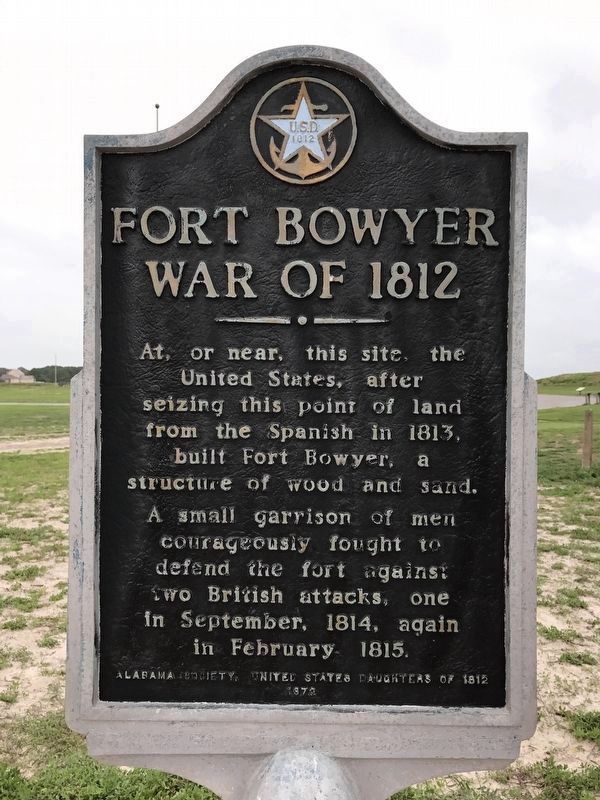
Fort Bowyer War of 1812
Erected 1972 by Alabama Society, United States Daughters of 1812.
Topics and series. This historical marker is listed in these topic lists: Forts and Castles • Notable Events • Notable Places • War of 1812. In addition, it is included in the United States Daughters of 1812, National Society series list. A significant historical month for this entry is February 1815.
Location. 30° 13.79′ N, 88° 1.41′ W. Marker is in Gulf Shores, Alabama, in Baldwin County. Marker is on Dixie Graves Highway, on the right when traveling south. Touch for map. Marker is in this post office area: Gulf Shores AL 36542, United States of America. Touch for directions.
Other nearby markers. At least 8 other markers are within walking distance of this marker. Second Battle of Fort Bowyer (here, next to this marker); First Battle of Fort Bowyer (here, next to this marker); Fort Bowyer (here, next to this marker); Noble Leslie DeVotie (a few steps from this marker); 32 Pounder Sea Coast Defense Gun (within shouting distance of this marker); Battery Schenck (1899-1923) (within shouting distance of this marker); U.S. Model 1918M1 155mm Gun and Model 1918A1 Carriage (within shouting distance of this marker); Battery Thomas (1898-1917) (about 300 feet away, measured in a direct line). Touch for a list and map of all markers in Gulf Shores.
More about this marker. Marker has been repainted/refurbished and is now on a new concrete pad facing toward the entrance to Mobile Bay - just south of the Noble Leslie Devotie marker.
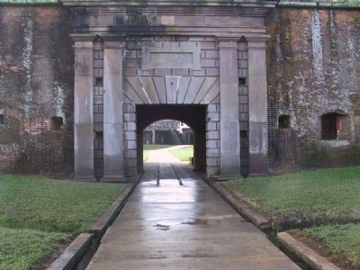
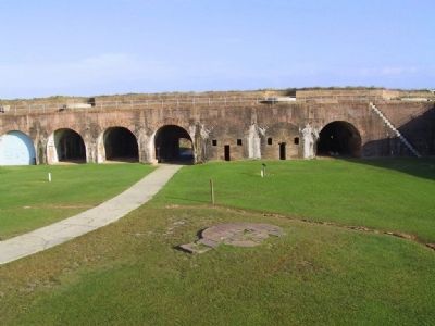
Also see . . . Fort Bowyer. Fort Bowyer was a fort the Americans erected on Mobile Point situated at the mouth of Mobile Bay. (Submitted on March 16, 2010, by Sandra Hughes Tidwell of Killen, Alabama, USA.)
Credits. This page was last revised on December 3, 2021. It was originally submitted on March 16, 2010, by Sandra Hughes Tidwell of Killen, Alabama, USA. This page has been viewed 3,059 times since then and 52 times this year. Last updated on December 3, 2021, by Carl Gordon Moore Jr. of North East, Maryland. Photos: 1. submitted on June 2, 2017, by W. Scott Brannon of Tuscaloosa, Alabama. 2, 3. submitted on March 22, 2010, by Sandra Hughes Tidwell of Killen, Alabama, USA. • Mark Hilton was the editor who published this page.


