Falls Church, Virginia — The American South (Mid-Atlantic)
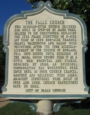
The Falls Church
Erected by City of Falls Church.
Topics and series. This historical marker is listed in this topic list: Churches & Religion. In addition, it is included in the Virginia, City of Falls Church series list. A significant historical year for this entry is 1733.
Location. 38° 52.844′ N, 77° 10.337′ W. Marker is in Falls Church, Virginia. Marker is at the intersection of East Fairfax Street and South Washington Street (County Route 237), on the right when traveling west on East Fairfax Street. Touch for map. Marker is at or near this postal address: 115 East Fairfax Street, Falls Church VA 22046, United States of America. Touch for directions.
Other nearby markers. At least 8 other markers are within walking distance of this marker. A different marker also named The Falls Church (within shouting distance of this marker); a different marker also named The Falls Church (within shouting distance of this marker); Enslaved People (within shouting distance of this marker); Confederate Soldiers (within shouting distance of this marker); Union Soldiers (within shouting distance of this marker); New York Memorial Stone at Falls Church (within shouting distance of this marker); James Wren (within shouting distance of this marker); Henry Fairfax (within shouting distance of this marker). Touch for a list and map of all markers in Falls Church.
Also see . . .
1. A Difference of 100 Years. Comparison of photographs of the church from 1900 and 2000. (Submitted on October 9, 2007, by Craig Swain of Leesburg, Virginia.)
2. Vandalized in the Civil War. Federal troops vandalized the church during the Civil War. The church was compensated for the damage after the war. (Submitted on October 10, 2007, by Craig Swain of Leesburg, Virginia.)
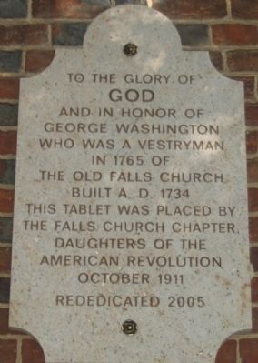
Photographed By Craig Swain, September 12, 2007
5. Dedication Stone on the West Face
GOD
and in honor of
George Washington
who was a vestryman
in 1765 of
the Old Falls Church
Built A.D. 1734
This tablet was placed by
The Falls Church Chapter
Daughters of the
American Revolution
October 1911
Rededicated 2005
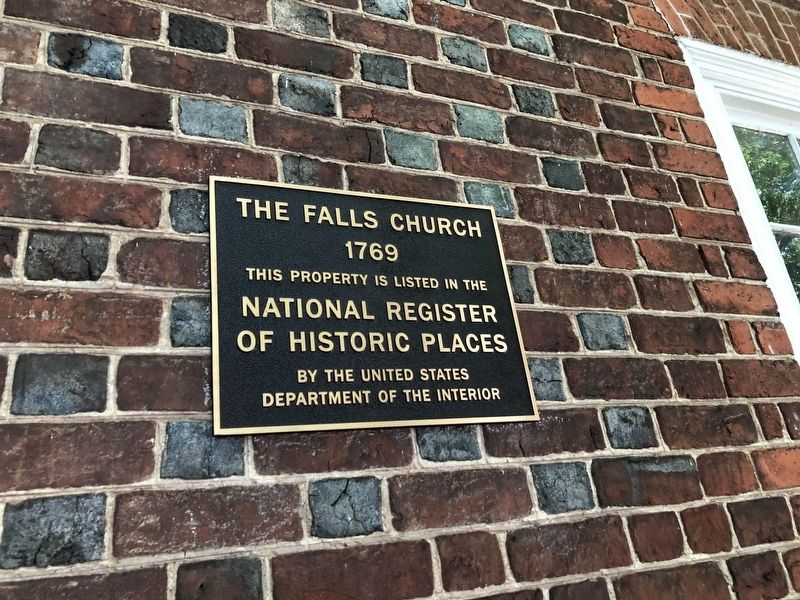
Photographed By Devry Becker Jones (CC0), June 7, 2020
6. National Register of Historic Places plaque on the church
Credits. This page was last revised on June 7, 2020. It was originally submitted on October 9, 2007, by Craig Swain of Leesburg, Virginia. This page has been viewed 4,735 times since then and 53 times this year. Photos: 1, 2, 3, 4, 5. submitted on October 9, 2007, by Craig Swain of Leesburg, Virginia. 6. submitted on June 7, 2020, by Devry Becker Jones of Washington, District of Columbia.
