San Mateo in San Mateo County, California — The American West (Pacific Coastal)
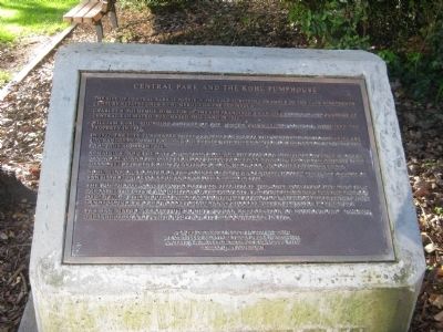
Central Park and The Kohl Pumphouse
Charles B. Polhemus, Director of the San Francisco & San Jose Railroad and founder of Central San Mateo, purchased this land in 1852.
William Kohl, founding partner of the Alaska Commercial Company, acquired the property in 1880.
In 1922, the City purchased these 16 acres for $80,000. The Central Park boundaries are unchanged from the former Kohn Estate with the exception of the narrow Ninth Avenue frontage added in 1926.
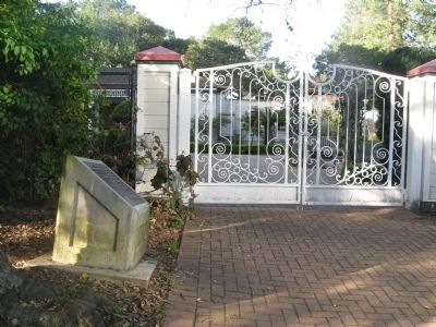
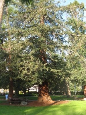
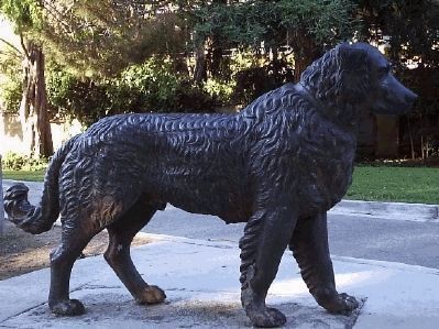
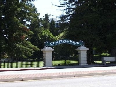
Remaining from the days of Captain Kohl are the 900-foot artistic iron fence along the El Camino Real and the cast iron dog statue from Italy standing along the pathway that meanders between Kohl’s plantings of Oak, Redwood, and other specimen trees.
Kohl Mansion, located on the corner of Fifth and Laurel, housed the first campus of San Mateo Junior College and was demolished in 1928.
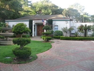
The pumphouse, constructed between 1890-1910, is the only surviving building that predates the City’s acquisition of the property. The pump mechanism for the 240-foot deep well is still housed inside and continues to provide water for the extensive park landscaping. Two redwood storage tanks stood 35 feet in elevation to the west.
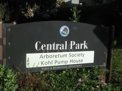
The San Mateo Arboretum Society began restoration of surrounding gardens, greenhouses, and pumphouse – now its headquarters – in 1976.
Erected 2000 by E Clampus Vitus.
Topics and series. This historical marker is listed in these topic lists: Horticulture & Forestry • Notable Buildings • Notable Places. In addition, it is included in the E Clampus Vitus series list. A significant historical year for this entry is 1852.
Location. 37° 33.647′ N, 122° 19.262′ W. Marker is in San Mateo, California, in San Mateo County. Marker can be reached from 9th Avenue near Palm Avenue. Touch for map. Marker is at or near this postal address: 101 9th Avenue, San Mateo CA 94401, United States of America. Touch for directions.
Other nearby markers. At least 8 other markers are within walking distance of this marker. Central Park Veterans Memorial (about 300 feet away, measured in a direct line); Central Park Veterans Memorial – Japanese American Combat Team (about 300 feet away); Central Park Veterans Memorial - Screaming Eagles Grove (about 300 feet away); Central Park Veterans Memorial – World War I (about 400 feet away); a different marker also named Central Park Veterans Memorial (about 400 feet away); First Business Structure (approx. 0.4 miles away); Morse’s Corners (approx. 0.4 miles away); Historic Camp Site (approx. 0.4 miles away). Touch for a list and map of all markers in San Mateo.
More about this marker. Marker is located at Central Park near the Ninth Street entrance.
Also see . . .
1. The Pumphouse. San Mateo Arboretum website. Water was pumped from the original well, 240 feet deep, at the rate of 150 gallons per minute. Two large redwood tanks once stood on platforms 35 feet high behind the building. (Submitted on March 17, 2010.)
2. Central Park. San Mateo Arboretum website. San Mateo's Central Park is a 16-acre city park bordered by El Camino Real, Ninth, Laurel and Fifth Avenues. The park is also a historical site whose roots run deep into San Mateo's past. (Submitted on March 17, 2010.)
Credits. This page was last revised on November 17, 2020. It was originally submitted on March 17, 2010, by Syd Whittle of Mesa, Arizona. This page has been viewed 1,972 times since then and 52 times this year. Photos: 1, 2, 3, 4, 5. submitted on March 17, 2010, by Syd Whittle of Mesa, Arizona. 6, 7. submitted on April 21, 2010, by B. D. Miller of San Mateo, California.
