Pacifica in San Mateo County, California — The American West (Pacific Coastal)
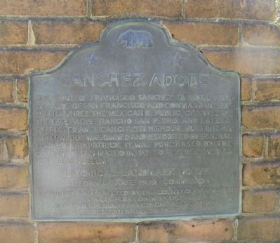
Sanchez Adobe
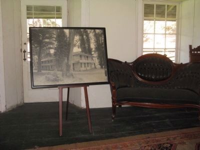
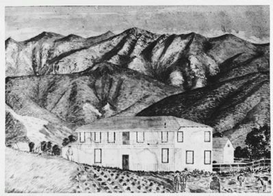
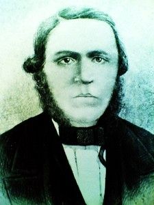
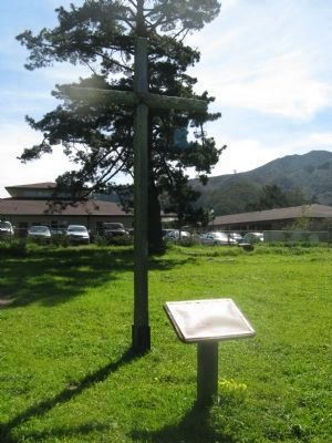
The home of Francisco Sanchez (B. 1805, D. 1862). Alcalde of San Francisco and Commandante of Militia under the Mexican Republic. Grantee of the 8,926 – acre Rancho San Pedro, and later a respected American citizen. His house built 1842-46. Afterwards was owned and remodeled by General Edward Kirkpatrick. It was purchased by the County of San Mateo in 1947 to be preserved as a public museum.
California State Park Commission
Erected 1953 by County of San Mateo in cooperation with the San Mateo County Historical Association. (Marker Number 391.)
Topics and series. This historical marker is listed in these topic lists: Notable Buildings • Settlements & Settlers. In addition, it is included in the California Historical Landmarks, and the Portolá Expedition series lists. A significant historical year for this entry is 1805.
Location. 37° 35.249′ N, 122° 29.626′ W. Marker is in Pacifica, California, in San Mateo County. Marker is on Linda Mar Boulevard, on the right. The marker is located inside the entrance gate to the park area. Touch for map. Marker is at or near this postal address: 1000 Linda Mar Boulevard, Pacifica CA 94044, United States of America. Touch for directions.
Other nearby markers. At least 8 other markers are within 3 miles of this marker, measured as the crow flies . Captain Don Gaspar de Portolà (approx. 0.8 miles away); Discovery of San Francisco Bay (approx. 0.9 miles away); Open Spaces and Wild Places (approx. 0.9 miles away); Cut Off! (approx. 0.9 miles away); Charles Gust 1888-1969 (approx. 1½ miles away); The Enduring Aramai (approx. 2.3 miles away); Mori's Point Inn (approx. 2.3 miles away); A Rich Native History (approx. 3.1 miles away). Touch for a list and map of all markers in Pacifica.
Regarding Sanchez Adobe. The Ohlones
From prehistoric Indian times through the adobe’s restoration in 1953 the site has been actively used. It was an Indian village, a mission outpost farm, a cattle ranch, an adobe home, a hunting lodge, quarters for field workers, and a speakeasy during prohibition times.
When Don Gaspar de Portola’s expedition arrived in the San Pedro Valley, they found an Indian village on these grounds. The valley provided the Ohlones with food and raw materials. They built simple dwellings of willow poles and tule mats. They were skilled basket makers and excellent hunters and gatherers. They used stone, wood and bone tools. Some of the items used by these early inhabitants are on display in the museum.
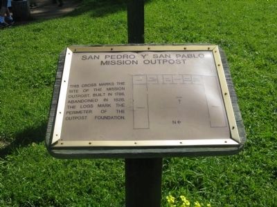
Mission Dolores Outpost
As Mission Dolores was built on sand dunes,
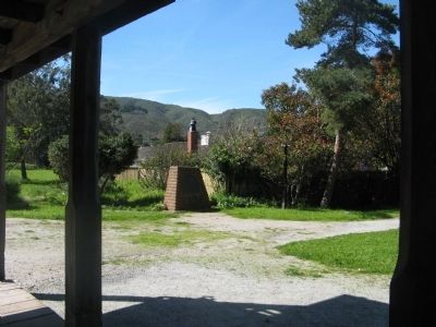
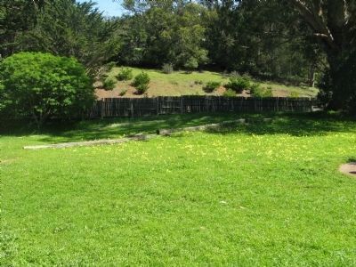
growing crops at the mission was difficult. The mission padres remembered this valley and started an outpost farm here which supplied the needs of the Mission. An archeological dig in 1978 uncovered the foundations of this outpost and the foundations are outlined today with logs to indicate the original size of the buildings.
Francisco Sanchez
This was the location of the 8,926 acre San Pedro Rancho awarded in 1839 to Don Francisco Sanchez by Governor Juan Bautista Alvarado in return for his service to the Mexican Government by serving as the Commandante of the San Francisco Presidio. The boundaries of the land grant closely resemble the current day Pacifica city limits.
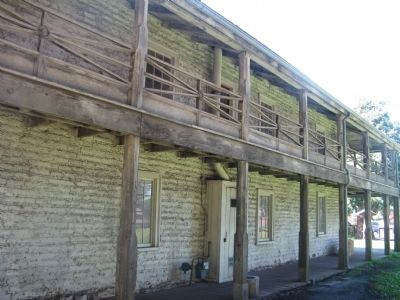
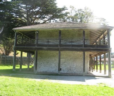
Sanchez built his adobe for his wife and nine children. The building was constructed between 1842 – 1846 on the foundations of the old Mission Dolores outpost. The adobe stands today, much as it did then.
New Owners and New Uses
Following the death of Francisco Sanchez in 1862, the home and part of his property was sold to Civil War General Edward Kirkpatrick. He extended the house with wooden additions and added a formal Victorian garden.
After Kirkpatrick moved away in 1908 the adobe became the San Pedro Hotel, a stop on the Ocean Shore Railroad. When the railroad ceased operations the adobe became a hunting lodge.
During prohibition the adobe became
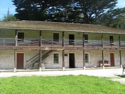
Photographed By Syd Whittle, March 15, 2010
3. Sanchez Adobe - Front
The adobe serves as a museum with period displays, Ohlone Native exibits and mission outpost information. This site is visited by many school field trips where students learn of the area, the Ohlone culture, and participate in candle making, acorn grinding and other period activities.
Source: Sanchez Adobe Historic Site Brochure
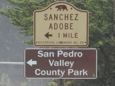
This site was designated as California Registered Historical Landmark No.391 on September 25, 1947 and was placed on the National Register of Historic Places on April 13, 1976.
Also see . . .
1. Sánchez Adobe Historic Site. San Mateo County Historical Association website entry (Submitted on August 20, 2022, by Larry Gertner of New York, New York.)
2. The Sanchez Adobe Park. National Park Service information on the site. (Submitted on March 17, 2010.)
Credits. This page was last revised on August 20, 2022. It was originally submitted on March 17, 2010, by Syd Whittle of Mesa, Arizona. This page has been viewed 1,371 times since then and 13 times this year. Photos: 1, 2, 3, 4, 5, 6, 7, 8, 9, 10, 11, 12. submitted on March 17, 2010, by Syd Whittle of Mesa, Arizona.
