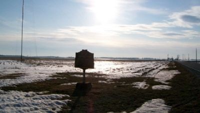
Near Dola in Hardin County, Ohio — The American Midwest (Great Lakes)
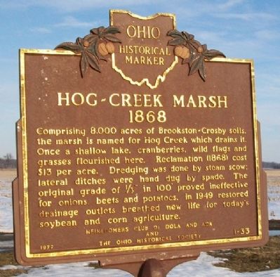
Hog-Creek Marsh
1868
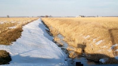
Comprising 8,000 acres of Brookston-Crosby soils, the marsh is named for Hog Creek which drains it. Once a shallow lake, cranberries, wild flags and grasses flourished here. Reclamation (1868) cost $13.00 per acre. Dredging was done by steam scow; lateral ditches were hand dug by spade. The original grade of 1/3" in 100' proved ineffective for onion, beets and potatoes. In 1949 restored drainage outlets breathed new life for today's soybean and corn agriculture.
Erected 1977 by Heirloomers Club of Dola and Ada and The Ohio Historical Society. (Marker Number 1-33.)
Topics and series. This historical marker is listed in these topic lists: Agriculture • Man-Made Features • Natural Features • Natural Resources • Waterways & Vessels. In addition, it is included in the Ohio Historical Society / The Ohio History Connection series list. A significant historical year for this entry is 1949.
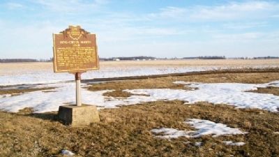
Location. 40° 46.569′ N, 83° 43.495′ W. Marker is near Dola, Ohio, in Hardin County. Marker is on Ohio Route 81, 0.2 miles east of County Route 95, on the right when traveling east. Marker is about two miles west of the village of Dola, and several hundred feet NE of a tall radio tower. Touch for map. Marker is in this post office area: Dola OH 45835, United States of America. Touch for directions.
Other nearby markers. At least 8 other markers are within 5 miles of this marker, measured as the crow flies. Hull's Trail, 1812 (approx. 3.8 miles away); Hull’s Trail 1812 (approx. 4.2 miles away); To Remember Veterans Of All Wars (approx. 4.4 miles away); Dunkirk Veterans Memorial (approx. 4.4 miles away); a different marker also named To Remember Veterans Of All Wars (approx. 4˝ miles away); a different marker also named Hull’s Trail (approx. 4.8 miles away); Dedicated To All Veterans (approx. 4.9 miles away); a different marker also named Hull's Trail, 1812 (approx. 4.9 miles away).
Also see . . . Report on the Geology of Hardin County. (Submitted on March 23, 2010, by William Fischer, Jr. of Scranton, Pennsylvania.)
Credits. This page was last revised on June 16, 2016. It was originally submitted on March 23, 2010, by William Fischer, Jr. of Scranton, Pennsylvania. This page has been viewed 1,639 times since then and 45 times this year. Photos: 1, 2, 3, 4, 5. submitted on March 23, 2010, by William Fischer, Jr. of Scranton, Pennsylvania.
