Near Moncks Corner in Berkeley County, South Carolina — The American South (South Atlantic)
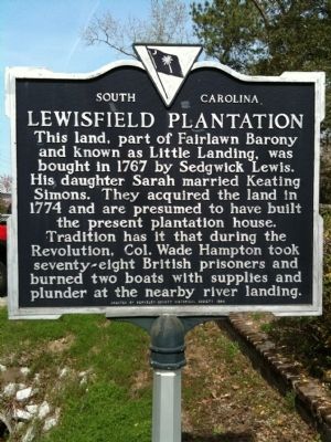
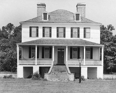
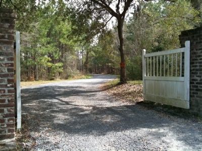
Lewisfield Plantation
Erected 1978 by Berkeley County Historical Society. (Marker Number 8-16.)
Topics. This historical marker is listed in these topic lists: Colonial Era • Notable Buildings. A significant historical year for this entry is 1767.
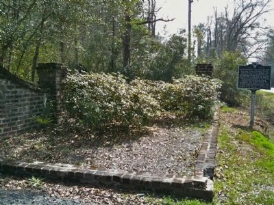
Location. 33° 10.059′ N, 80° 0.888′ W. Marker is near Moncks Corner, South Carolina, in Berkeley County. Marker is at the intersection of Old US 52 and Lewisfield Plantation Road, on the right when traveling north on Old US 52. Touch for map. Marker is in this post office area: Moncks Corner SC 29461, United States of America. Touch for directions.
Other nearby markers. At least 8 other markers are within 3 miles of this marker, measured as the crow flies. Rembert C. Dennis Boulevard (approx. 1.7 miles away); Moncks Corner Depot (approx. 1.8 miles away); Mulberry Plantation (approx. 1.9 miles away); Fairlawn Plantation / Fort Fairlawn (approx. 2 miles away); Dixie Training School / Berkeley Training High School (approx. 2 miles away); “Sojer Grave” (approx. 2 miles away); Stony Landing Plantation (approx. 2.4 miles away); Berkeley Training High School (approx. 2.6 miles away). Touch for a list and map of all markers in Moncks Corner.
Also see . . .
1. Lewisfield Plantation - Moncks Corner Berkeley County South Carolina SC. (Submitted on March 26, 2010, by David Bullard of Seneca, South Carolina.)
2. South Carolina Department of Archives and History enry for Lewisfield Plantation. (Submitted on March 28, 2010, by Michael Sean Nix of Spartanburg, South Carolina.)
Credits. This page was last revised on June 16, 2016. It was originally submitted on March 26, 2010, by David Bullard of Seneca, South Carolina. This page has been viewed 2,411 times since then and 172 times this year. Photos: 1, 2. submitted on March 26, 2010, by David Bullard of Seneca, South Carolina. 3. submitted on March 28, 2010, by Michael Sean Nix of Spartanburg, South Carolina. 4. submitted on March 26, 2010, by David Bullard of Seneca, South Carolina. • Bill Pfingsten was the editor who published this page.


