Blue Diamond in Clark County, Nevada — The American Mountains (Southwest)
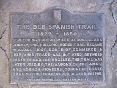
The Old Spanish Trail
1829 – 1850
Erected by State of Nevada Historical Marker. (Marker Number 33.)
Topics and series. This historical marker is listed in these topic lists: Roads & Vehicles • Settlements & Settlers. In addition, it is included in the Old Spanish National Trail series list. A significant historical year for this entry is 1829.
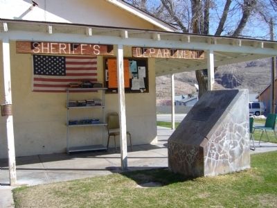
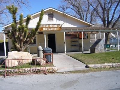
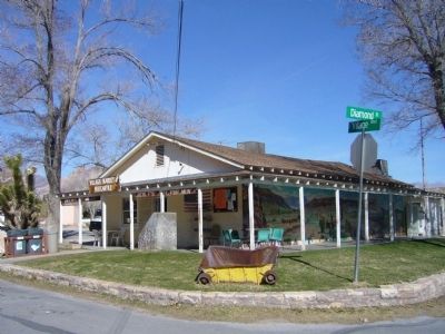
Location. 36° 2.81′ N, 115° 24.386′ W. Marker is in Blue Diamond, Nevada, in Clark County. Marker is at the intersection of Village Boulevard and Diamond Street, on the left when traveling east on Village Boulevard. Touch for map. Marker is in this post office area: Blue Diamond NV 89004, United States of America. Touch for directions.
Other nearby markers. At least 8 other markers are within 10 miles of this marker, measured as the crow flies. Spring Mountain Ranch (approx. 3.3 miles away); a different marker also named Old Spanish Trail (approx. 4.1 miles away); Potosi (approx. 5.4 miles away); a different marker also named The Old Spanish Trail (approx. 5.8 miles away); Outlaws and Horse Thieves on the Old Spanish Trail (approx. 9.9 miles away); The Old Spanish Trail Through Clark County (approx. 10 miles away); Frémont and His Scouts (approx. 10 miles away); Old Spanish Trail Park (approx. 10 miles away). Touch for a list and map of all markers in Blue Diamond.
Also see . . . Old Spanish Trail Association. Maps, photos, history. (Submitted on February 21, 2018, by Craig Baker of Sylmar, California.)
Credits. This page was last revised on December 3, 2018. It was originally submitted on March 28, 2010, by Bill Kirchner of Tucson, Arizona. This page has been viewed 2,366 times since then and 23 times this year. Photos: 1, 2, 3, 4. submitted on March 28, 2010, by Bill Kirchner of Tucson, Arizona. • Syd Whittle was the editor who published this page.


