Battery Park in Manhattan in New York County, New York — The American Northeast (Mid-Atlantic)
History of the Battery Wall
[Castle Clinton National Monument]
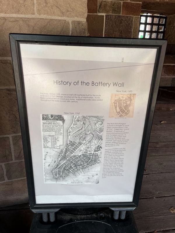
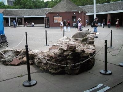
This map, dated 1695, shows a wall with batteries built to the south and west of Fort George, located at the tip of Manhattan. It was likely constructed of wood and stone. Additional works were added throughout the early to mid-18th century.
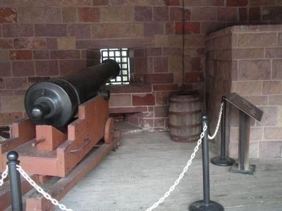
The final and strongest outwork is thought to have been constructed in 1766 or 1767. Called the “Grand Battery”, it was built of stone and accommodated one hundred cannon. It was from this battery that Alexander Hamilton and Captain John Lamb removed eleven artillery pieces at the beginning of the American Revolution in 1775.
The Grand Battery was the target of naval gunfire from the British warships HMS Phoenix and HMS Rose as they sailed up the Hudson River on July 12, 1776. Following the seizure of New York in September, 1776, Fort George and the Battery again became the headquarters of the British Army in New York. In 1790, following the American Revolution, the City of New York demolished Fort George and leveled the Grand Battery to use the materials to fill in the pier line along the shore.
Erected by National Park Service, U.S. Department of the Interior.
Topics. This historical marker is listed in these topic lists: Colonial Era • Forts and Castles • War, US Revolutionary. A significant historical month for this entry is July 1893.
Location. 40° 42.22′ N, 74° 1.021′ W. Marker is in Manhattan, New York, in New York County. It is in Battery Park. Marker can be reached from State Street, on the left when traveling north. Marker is located inside Castle Clinton National Monument in Battery Park. Touch for map. Marker is in this post office area: New York NY 10004, United States of America. Touch for directions.
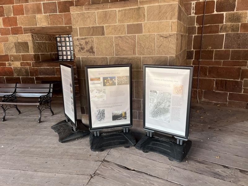
Other nearby markers. At least 8 other markers are within walking distance of this marker. Battery Wall Discovery (here, next to this marker); The Lives of Castle Clinton: (here, next to this marker); Norwegian Maritime Memorial (a few steps from this marker); Federal Hall (a few steps from this marker); Emma Lazarus (within shouting distance of this marker); New York Korean War Veterans Memorial (within shouting distance of this marker); a different marker also named New York Korean War Veterans Memorial (within shouting distance of this marker); Manning Castle Clinton’s 28 guns (within shouting distance of this marker). Touch for a list and map of all markers in Manhattan.
More about this marker. Two maps of the southern end of Manhattan Island appear on the marker. One depicts New York in 1695, while the other is a detail from Ratzer’s map surveyed in 1767 and published in 1776.
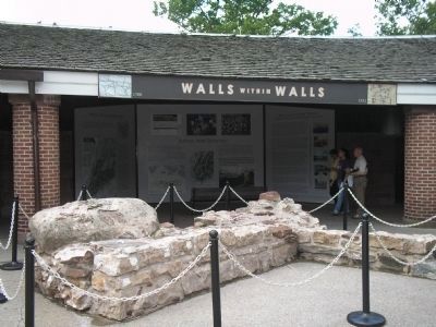
Related markers. Click here for a list of markers that are related to this marker. These markers are in the "Walls within Walls" exhibit in Castle Clinton
National Monument.
Also see . . .
1. Castle Clinton National Monument – History & Culture. National Park Service website. (Submitted on June 27, 2009, by Bill Coughlin of Woodland Park, New Jersey.)
2. Castle Clinton National Monument - National Archives. National Register of Historic Places documentation (Submitted on April 7, 2024, by Anton Schwarzmueller of Wilson, New York.)
Credits. This page was last revised on April 7, 2024. It was originally submitted on June 27, 2009, by Bill Coughlin of Woodland Park, New Jersey. This page has been viewed 1,334 times since then and 54 times this year. Last updated on March 30, 2010, by Richard E. Miller of Oxon Hill, Maryland. Photos: 1. submitted on October 10, 2022, by Devry Becker Jones of Washington, District of Columbia. 2. submitted on June 27, 2009, by Bill Coughlin of Woodland Park, New Jersey. 3. submitted on October 10, 2022, by Devry Becker Jones of Washington, District of Columbia. 4, 5, 6. submitted on June 27, 2009, by Bill Coughlin of Woodland Park, New Jersey. • Syd Whittle was the editor who published this page.
