Financial District in Manhattan in New York County, New York — The American Northeast (Mid-Atlantic)
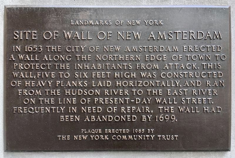
Site of the Wall of New Amsterdam
Landmarks of New York
— Wall Street —
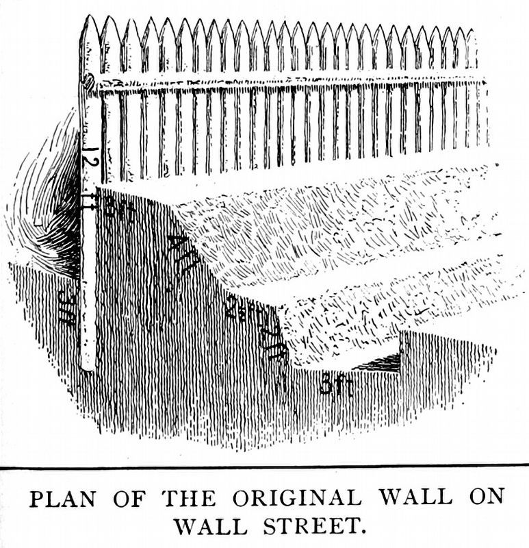
In 1653 the City of New Amsterdam erected a wall along the northern edge of town to protect the inhabitants from attack. This wall, five to six feet high, was constructed of heavy planks laid horizontally, and ran from the Hudson River to the East River on the line of present-day Wall Street. Frequently in need of repair, the wall had been abandoned by 1699.
Erected 1965 by The New York Community Trust.
Topics. This historical marker is listed in these topic lists: Colonial Era • Notable Places. A significant historical year for this entry is 1653.
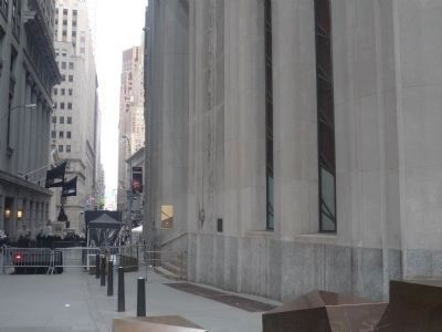
Location. 40° 42.462′ N, 74° 0.696′ W. Marker is in Manhattan, New York, in New York County. It is in the Financial District. Marker is on Wall Street just east of Broadway, on the right when traveling east. Touch for map. Marker is at or near this postal address: 1 Wall Street, New York NY 10006, United States of America. Touch for directions.
Other nearby markers. At least 8 other markers are within walking distance of this marker. September 17, 1951 (a few steps from this marker); Queen Elizabeth II (within shouting distance of this marker); April 20, 1951 (within shouting distance of this marker); Trinity Church (within shouting distance of this marker); October 8, 1951 (within shouting distance of this marker); a different marker also named Trinity Church (within shouting distance of this marker); New York State Society of the Cincinnati (within shouting distance of this marker); May 24, 1951 (within shouting distance of this marker). Touch for a list and map of all markers in Manhattan.
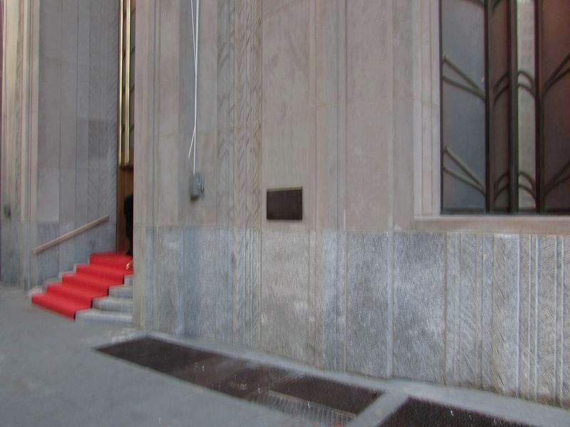
More about this marker. Marker is just east of Broadway, attached to the One Wall Street Building (formerly, the Bank of New York Bldg.), erected in 1930.
Related marker. Click here for another marker that is related to this marker. A recent, in-ground marker tracing the path of the wall.
Also see . . .
1. 1 Wall Street. Wikipedia entry (Submitted on March 31, 2010, by Richard E. Miller of Oxon Hill, Maryland.)
2. The Dutch & the English, Part 3: Construction of the Wall (1653-1663). NYC Department of Records & Information entry (Submitted on January 24, 2021, by Larry Gertner of New York, New York.)
Additional keywords. One Wall Street Building
Internet Archive
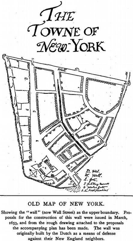
5. Old Map of New York
Showing the “wall” (now Wall Street) as the upper boundary. Proposals for the construction of this wall were issued in March, 1653, and from the rough drawing attached to the proposals the accompanying plan has been made. The wall was originally built by the Dutch as a means of defense against their New England neighbors. -- The Century Book of the American Colonies, 1900, by Elbridge Streeter Brooks.
Credits. This page was last revised on January 31, 2023. It was originally submitted on November 22, 2008, by Bill Coughlin of Woodland Park, New Jersey. This page has been viewed 2,149 times since then and 99 times this year. Last updated on December 29, 2018, by Larry Gertner of New York, New York. Photos: 1. submitted on June 4, 2022, by Craig Baker of Sylmar, California. 2, 3. submitted on December 4, 2021, by Bill Coughlin of Woodland Park, New Jersey. 4. submitted on March 31, 2010, by Richard E. Miller of Oxon Hill, Maryland. 5, 6. submitted on May 19, 2019, by Allen C. Browne of Silver Spring, Maryland. • Andrew Ruppenstein was the editor who published this page.
