Goose Creek in Berkeley County, South Carolina — The American South (South Atlantic)
The Yamasee War At Goose Creek, 1715
Inscription.
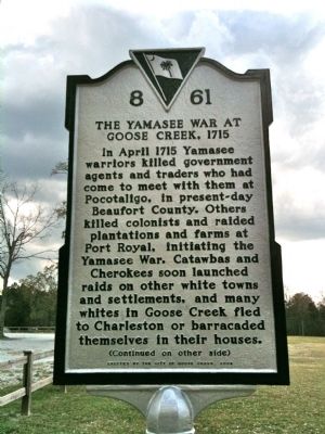
Marker Front:
In April 1715 Yamasee warriors killed government agents and traders who had come to meet with them at Pocotaligo, in present-day Beaufort County. Others killed colonists and raided plantations and farms at Port Royal, initiating the Yamasee War. Catawbas and Cherokees soon launched raids on other white towns and settlements, and many whites in Goose Creek fled to Charleston or barricaded themselves in their houses.
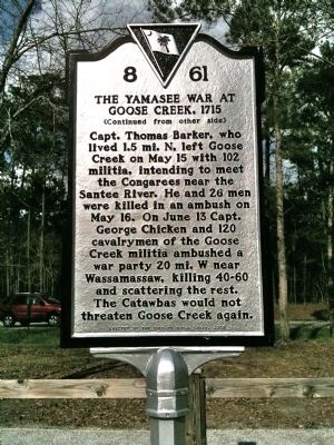
Marker Reverse:
Capt. Thomas Barker, who lived 1.5 mi. N, left Goose Creek on May 15 with 102 militia, intending to meet the Congarees near the Santee River. He and 26 men were killed in an ambush on May 16. On June 13 Capt. George Chicken and 120 cavalrymen of the Goose Creek militia ambushed a war party 20 mi. W near Wassamassaw, killing 40-60 and scattering the rest. The Catawbas would not threaten Goose Creek again.
Erected 2008 by the City of Goose Creek. (Marker Number 8-61.)
Topics. This historical marker is listed in this topic list: Colonial Era. A significant historical month for this entry is April 1715.
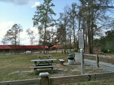
Location. 32° 58.309′ N, 80° 1.844′ W. Marker is in Goose Creek, South Carolina, in Berkeley County. Marker is on a Foster Creek Park walking trail west of Foster Creek Road. Touch for map . Marker is in this post office area: Goose Creek SC 29445, United States of America. Touch for directions.
Other nearby markers. At least 8 other markers are within 2 miles of this marker, measured as the crow flies. St. James, Goose Creek (approx. 0.3 miles away); Goose Creek Church (approx. 0.4 miles away); Howe Hall Plantation / Howe Hall Elementary School (approx. 0.6 miles away); Goose Creek Bridge (approx. 0.6 miles away); Otranto Plantation (approx. 0.8 miles away); The Oaks (approx. 0.9 miles away); Boochawee Hall (approx. 1.7 miles away); The Elms Plantation (approx. 1.9 miles away). Touch for a list and map of all markers in Goose Creek.
Credits. This page was last revised on June 16, 2016. It was originally submitted on April 4, 2010, by David Bullard of Seneca, South Carolina. This page has been viewed 4,478 times since then and 205 times this year. Photos: 1, 2, 3. submitted on April 4, 2010, by David Bullard of Seneca, South Carolina. • Kevin W. was the editor who published this page.


