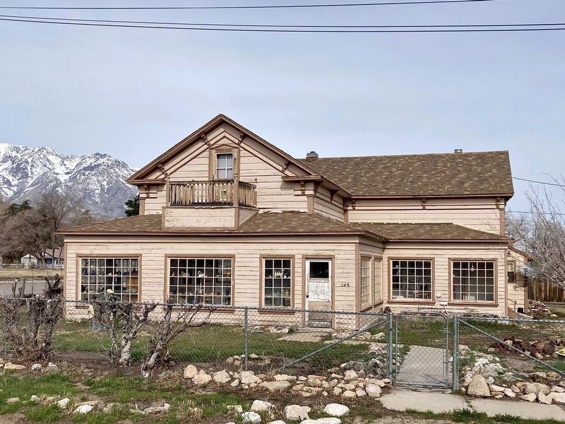
Near Independence in Inyo County, California — The American West (Pacific Coastal)
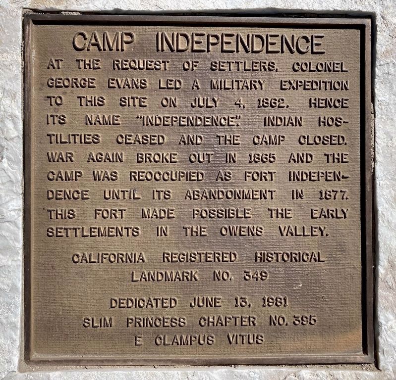
Camp Independence
California Registered Historical Landmark No. 349
Erected 1981 by Slim Princess Chapter No. 395 E Clampus Vitus. (Marker Number 349.)
Topics and series. This historical marker is listed in these topic lists: Military • Native Americans • Settlements & Settlers. In addition, it is included in the California Historical Landmarks, and the E Clampus Vitus series lists. A significant historical date for this entry is June 13, 1916.
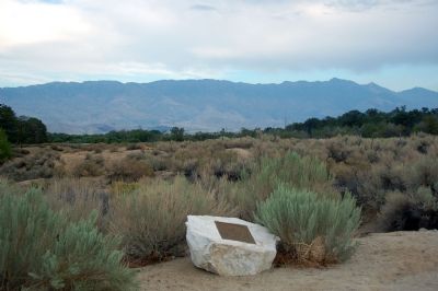
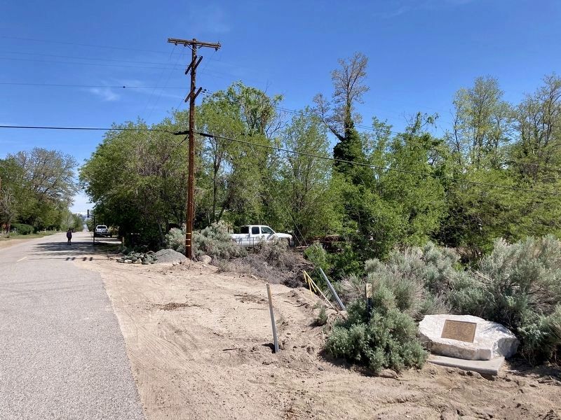
Location. 36° 49.991′ N, 118° 13.354′ W. Marker is near Independence, California, in Inyo County. Marker is on Shabbell Lane, 0.3 miles north of U.S. 395, on the right when traveling north. Touch for map. Marker is in this post office area: Independence CA 93526, United States of America. Touch for directions.
Other nearby markers. At least 8 other markers are within 3 miles of this marker, measured as the crow flies. Mt. Whitney Fish Hatchery (approx. 1.2 miles away); Historic Independence (approx. 2.2 miles away); Mining in Inyo County (approx. 2.4 miles away); Inyo County Courthouse (approx. 2.4 miles away); Putnam’s Stone Cabin (approx. 2.4 miles away); Engine #18 (approx. 2˝ miles away); Mary Austin’s Home (approx. 2˝ miles away); Edwards House (approx. 2˝ miles away). Touch for a list and map of all markers in Independence.
Also see . . .
1. The California State Military Museum - Camp Independence. (Submitted on October 14, 2007, by Karen Key of Sacramento, California.)
2. Independence, California. (Submitted on October 14, 2007, by Karen Key of Sacramento, California.)
Credits. This page was last revised on March 17, 2024. It was originally submitted on October 14, 2007, by Karen Key of Sacramento, California. This page has been viewed 3,526 times since then and 28 times this year. Photos: 1. submitted on April 29, 2023, by Craig Baker of Sylmar, California. 2. submitted on October 14, 2007, by Karen Key of Sacramento, California. 3. submitted on April 29, 2023, by Craig Baker of Sylmar, California. 4. submitted on April 27, 2012, by Denise Boose of Tehachapi, California. 5. submitted on March 17, 2024, by Craig Baker of Sylmar, California. • J. J. Prats was the editor who published this page.
