Independence in Inyo County, California — The American West (Pacific Coastal)
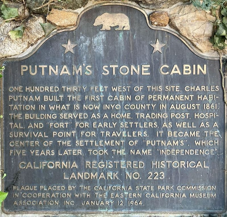
Putnamís Stone Cabin
California Registered Historical Landmark No. 223
Erected 1964 by California State Park Commission in cooperation with the Eastern California Museum Association, Inc. (Marker Number 223.)
Topics and series. This historical marker is listed in these topic lists: Forts and Castles • Industry & Commerce • Science & Medicine • Settlements & Settlers. In addition, it is included in the California Historical Landmarks series list. A significant historical month for this entry is January 1868.
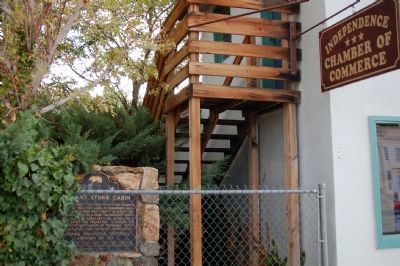
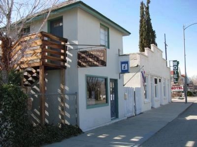
Location. 36° 48.176′ N, 118° 12.002′ W. Marker is in Independence, California, in Inyo County. Marker is on Highway 395 south of Bush Street, on the right when traveling south. Touch for map. Marker is in this post office area: Independence CA 93526, United States of America. Touch for directions.
Other nearby markers. At least 8 other markers are within 4 miles of this marker, measured as the crow flies. Inyo County Courthouse (within shouting distance of this marker); Edwards House (about 300 feet away, measured in a direct line); Mary Austinís Home (about 700 feet away); Mining in Inyo County (approx. ľ mile away); Engine #18 (approx. ľ mile away); Historic Independence (approx. ľ mile away); Camp Independence (approx. 2.4 miles away); Mt. Whitney Fish Hatchery (approx. 3.1 miles away). Touch for a list and map of all markers in Independence.
Also see . . . California and the Indian Wars:The Owens Valley Indian War, 1861-1865. (Submitted on October 14, 2007, by Karen Key of Sacramento, California.)
Credits. This page was last revised on May 8, 2023. It was originally submitted on October 14, 2007, by Karen Key of Sacramento, California. This page has been viewed 2,363 times since then and 43 times this year. Photos: 1. submitted on April 29, 2023, by Craig Baker of Sylmar, California. 2, 3. submitted on October 14, 2007, by Karen Key of Sacramento, California. 4. submitted on April 27, 2012, by Denise Boose of Tehachapi, California. • J. J. Prats was the editor who published this page.


