St. Johns in Auglaize County, Ohio — The American Midwest (Great Lakes)
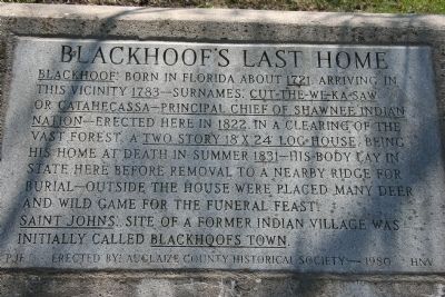
Blackhoof's Last Home
Saint Johns: Site of a former Indian Village was initially called Blackhoofs Town.
Erected 1980 by Auglaize County Historical Society.
Topics. This historical marker is listed in these topic lists: Animals • Cemeteries & Burial Sites • Native Americans • Settlements & Settlers. A significant historical year for this entry is 1721.
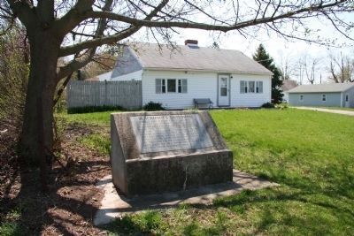
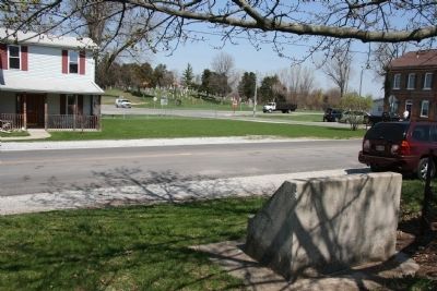
Location. 40° 33.349′ N, 84° 5.081′ W. Marker is in St. Johns, Ohio, in Auglaize County. Marker is on Center Street west of Walnut Street, on the left when traveling west. This historical marker is located in a residential area on the south side of US 33, but one can view the cemetery and burial site of Blackhoof (which is on the north side of US 33) from the site of this historical marker. Touch for map. Marker is in this post office area: Wapakoneta OH 45895, United States of America. Touch for directions.
Other nearby markers. At least 8 other markers are within 5 miles of this marker, measured as the crow flies. Catahecassa (about 400 feet away, measured in a direct line); First On The Moon (approx. 1.6 miles away); Wapaghonetta Reservation (approx. 2.1 miles away); Uniopolis Veterans Memorial (approx. 3.2 miles away); Uniopolis Town Hall (approx. 3.2 miles away); Uniopolis Veteran's Park (approx. 3.2 miles away); St. John Catholic Church and Parish Hall (approx. 4.3 miles away); Space Exploration Memorial (approx. 4.6 miles away).
Credits. This page was last revised on December 29, 2023. It was originally submitted on April 9, 2010, by Dale K. Benington of Toledo, Ohio. This page has been viewed 1,956 times since then and 61 times this year. Last updated on December 3, 2023, by Craig Doda of Napoleon, Ohio. Photos: 1, 2, 3. submitted on April 10, 2010, by Dale K. Benington of Toledo, Ohio. • J. Makali Bruton was the editor who published this page.


