Magalia in Butte County, California — The American West (Pacific Coastal)
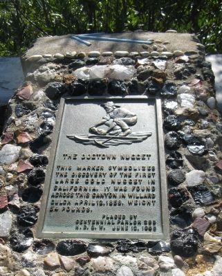
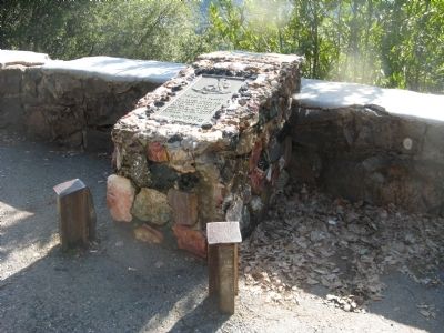
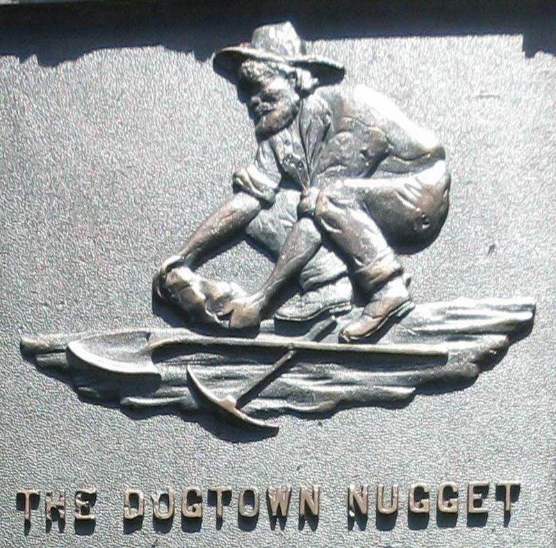
The Dogtown Nugget
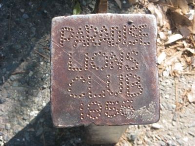
Erected 1955 by Centennial Parlor No. 295, Native Daughters of the Golden West. (Marker Number 771.)
Topics and series. This historical marker is listed in these topic lists: Natural Resources • Notable Events. In addition, it is included in the California Historical Landmarks, and the Native Sons/Daughters of the Golden West series lists. A significant historical date for this entry is April 12, 1780.
Location. 39° 48.243′ N, 121° 34.719′ W. Marker is in Magalia, California, in Butte County. Marker is on Old Skyway Road, 0.3 miles north of Pentz-Magalia Road, on the right when traveling east. Touch for map. Marker is in this post office area: Magalia CA 95954, United States of America. Touch for directions.
Other nearby markers. At least 8 other markers are within 5 miles of this marker, measured as the crow flies. Dogtown (approx. ¼ mile away); Magalia Community Church / The Magalia Schoolhouse Bell (approx. ¼ mile away); Old Paradise (approx. 3.4 miles away); Centerville Cemetery (approx. 3.6 miles away); Paradise Pioneers (approx. 4.1 miles away); PFC. Steven J. Walberg-Riotto (approx. 4.3 miles away); Old Paradise Depot (approx. 4.3 miles away); Paradise Veterans Memorial (approx. 4.3 miles away). Touch for a list and map of all markers in Magalia.
More about this marker. This site was designated as California Registered Historical Landmark No. 771 on January 31, 1962.
Statement of Significance:
The Dogtown nugget was discovered April 12, 1859 at the Willard Claim, a hydraulic mine in the Feather River Canyon northeast of the town.
Also see . . .
1. Dog Town, California. Wikipedia entry. Excerpt:
Dog Town produced the largest gold nugget ever found on the Sierra’s eastern slope. However, its overall gold production was not extensive. Within a couple years of its establishment, the town was abandoned as miners left in search of more profitable strikes. Nearby, the more appealing and profitable town of Monoville was booming, eventually expanding to a population of 700 pioneers.(Submitted on September 15, 2021, by Larry Gertner of New York, New York.)
2. Dog Town. California Ghost Towns website entry (Submitted on September 15, 2021, by Larry Gertner of New York, New York.)
3. Magalia. Wayback Machine website entry. Excerpt:
One of the first mining claims at Dogtown was the Willard Claim, a hydraulic mine, in 1851 owned by 3 miners, Willard, Wetherbee, and Smith. The claim was northeast of Dogtown in the canyon by the West Branch of the Feather River. It was reported a 96-ounce piece of gold was uncovered in 1854. The Willard claim was also the site where on April 12, 1859, A. K. Stearns, a workman, found the largest gold nugget weighing in at 54-lbs. It was worth $10,690.(Submitted on April 23, 2010.)
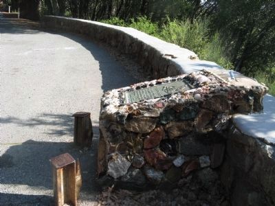
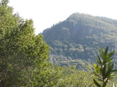
A private plaque California Landmark 771 on the Old Skyway entering Magalia records the discovery of the 54-lb Dogtown Nugget. The marker overlooks the canyon area of the Dogtown Nugget below the base of Sawmill Peak. Much of the view is now shrouded by trees.
Credits. This page was last revised on April 14, 2023. It was originally submitted on April 10, 2010, by Syd Whittle of Mesa, Arizona. This page has been viewed 3,580 times since then and 328 times this year. Photos: 1, 2, 3, 4, 5. submitted on April 10, 2010, by Syd Whittle of Mesa, Arizona. 6. submitted on April 14, 2023, by Syd Whittle of Mesa, Arizona. 7. submitted on April 10, 2010, by Syd Whittle of Mesa, Arizona.
