Near Independence in Inyo County, California — The American West (Pacific Coastal)
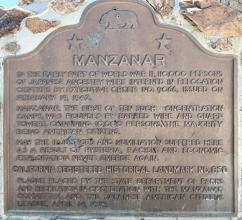
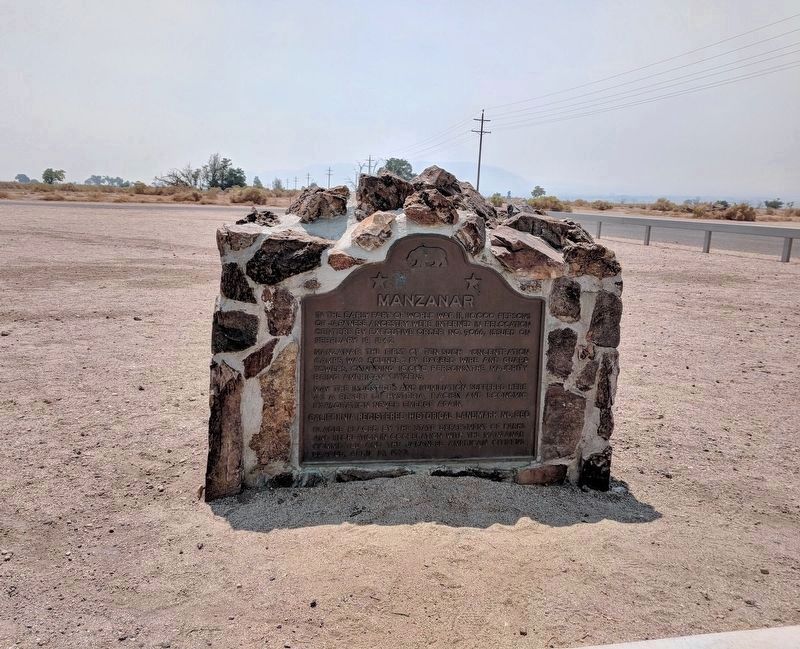
Manzanar
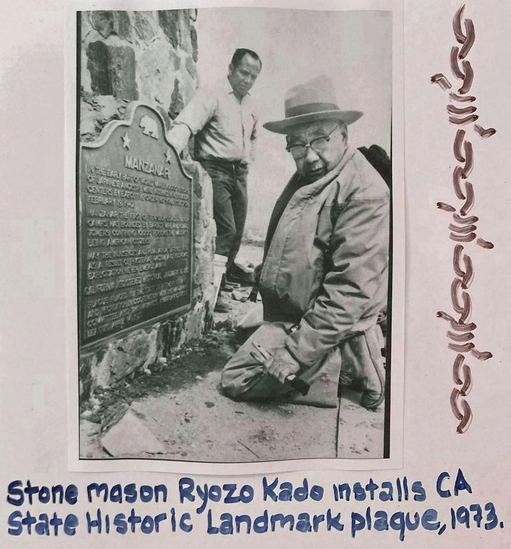
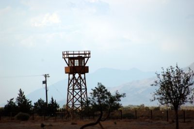
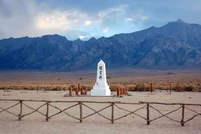
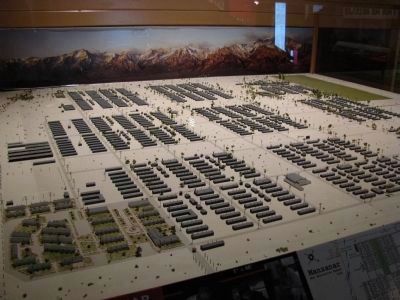
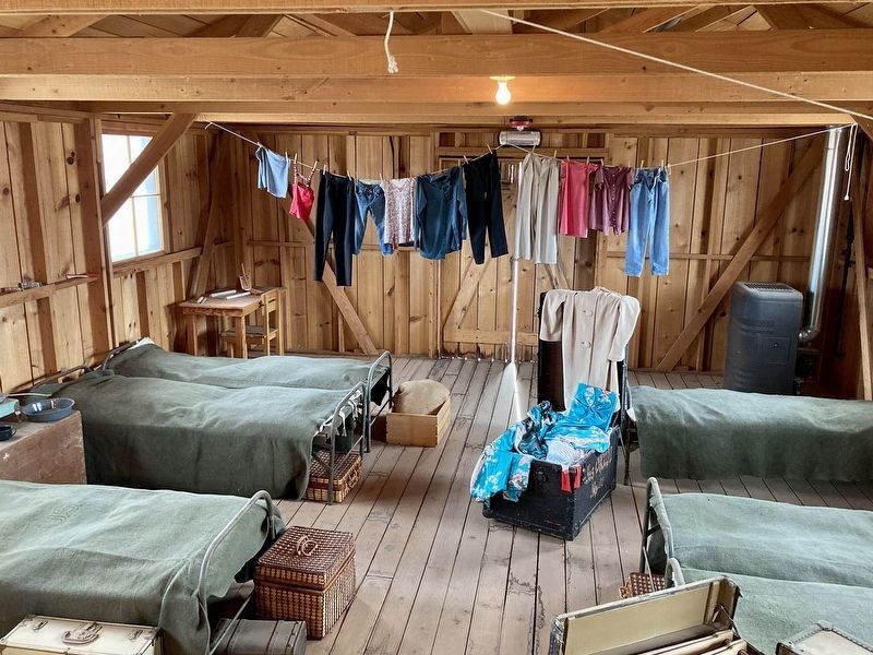
Manzanar, the first of ten such concentration camps, was bounded by barbed wire and guard towers, confining 10,000 persons, the majority being American citizens.
May the injustices and humiliation suffered here as a result of hysteria, racism and economic exploitation never emerge again.
Erected 1973 by State Department of Parks and Recreation in cooperation with the Manzanar Committee and the Japanese American Citizens League. (Marker Number 850.)
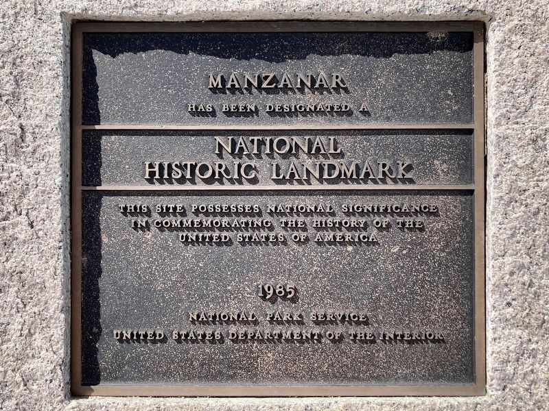
Topics and series. This memorial is listed in these topic lists: Cemeteries & Burial Sites • Civil Rights • Government & Politics • War, World II. In addition, it is included in the California Historical Landmarks, and the National Historic Landmarks series lists.
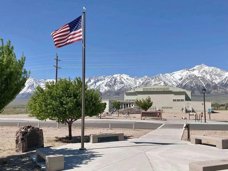
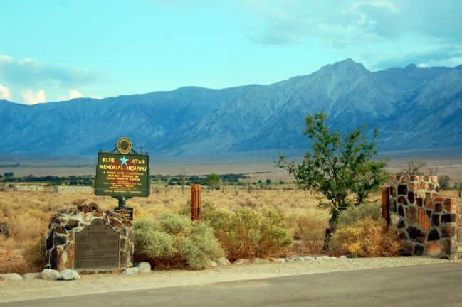
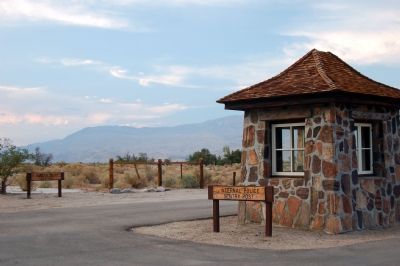
Location. 36° 43.677′ N, 118° 8.848′ W. Marker is near Independence, California, in Inyo County. Memorial is on Highway 395, on the right when traveling south. Located next to the flagpole in front of the Visitor Center at Manzanar. Touch for map. Marker is at or near this postal address: 5001 US-395, Independence CA 93526, United States of America. Touch for directions.
Other nearby markers. At least 8 other markers are within 6 miles of this marker, measured as the crow flies. A Community's Living Room (within shouting distance of this marker); Icon of Confinement (approx. 0.2 miles away); Manzanar Baseball Field (approx. 0.2 miles away); Weaving for the War (approx. 0.4 miles away); Legacy (approx. 0.8 miles away); Sacred Space (approx. 0.8 miles away); Alabama Gates (approx. 4.4 miles away); Kearsarge Station (approx. 5.7 miles away). Touch for a list and map of all markers in Independence.
Regarding Manzanar. The fight to gain State Historic Landmark status went beyond just placing a historic marker. The plaque was the first public, official recognition of any confinement site from WWII in the United States — nearly 30 years after Manzanar was built.
This is the first time survivors of the camp came together and collectively defined what had happened, discussed what they experienced, and concluded that they were incarcerated in concentration camps because of racism, manufactured hysteria, and economic greed.
The core words re-emerge 15 years later in the official statement of the Civil Liberties Act of 1988.
People opposed to the language on the plaque expressed their opposition on
the plaque itself, leaving behind a legacy of hatchet marks, chiseling, graffiti, and bullet holes.
Also see . . .
1. Manzanar National Historic Site. (Submitted on October 14, 2007, by Karen Key of Sacramento, California.)
2. Information on Manzanar. (Submitted on October 14, 2007, by Karen Key of Sacramento, California.)
3. Ansel Adams’s Photographs of Japanese-American Internment at Manzanar. (Submitted on October 14, 2007, by Karen Key of Sacramento, California.)
Credits. This page was last revised on March 15, 2024. It was originally submitted on October 14, 2007, by Karen Key of Sacramento, California. This page has been viewed 3,058 times since then and 43 times this year. Last updated on August 31, 2018, by Craig Baker of Sylmar, California. Photos: 1. submitted on April 14, 2022, by Craig Baker of Sylmar, California. 2. submitted on August 31, 2018, by Craig Baker of Sylmar, California. 3. submitted on June 15, 2023, by Craig Baker of Sylmar, California. 4. submitted on October 14, 2007, by Karen Key of Sacramento, California. 5, 6. submitted on June 15, 2023, by Craig Baker of Sylmar, California. 7, 8, 9, 10, 11, 12, 13. submitted on October 14, 2007, by Karen Key of Sacramento, California. 14. submitted on April 27, 2012, by Denise Boose of Tehachapi, California. 15. submitted on March 15, 2024, by Craig Baker of Sylmar, California. • Bill Pfingsten was the editor who published this page.
