Pulaski in Giles County, Tennessee — The American South (East South Central)
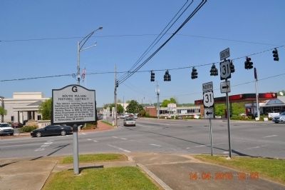
South Pulaski Historic District
Erected 1987 by the Giles County Historic Society.
Topics. This historical marker is listed in this topic list: Settlements & Settlers. A significant historical year for this entry is 1830.
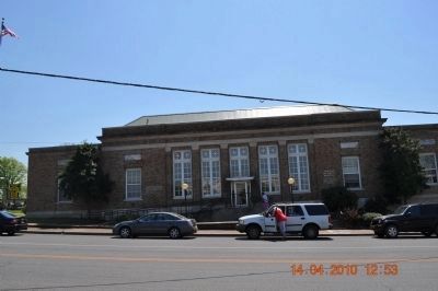
Location. 35° 11.807′ N, 87° 1.933′ W. Marker is in Pulaski, Tennessee, in Giles County. Marker is at the intersection of West College Street (U.S. 64) and South 1st Street (U.S. 31), on the right when traveling east on West College Street. Located beside US Post Office. Touch for map. Marker is at or near this postal address: 126 W College St, Pulaski TN 38478, United States of America. Touch for directions.
Other nearby markers. At least 8 other markers are within walking distance of this marker. Walter Hershel Beech (a few steps from this marker); First Presbyterian Church of Pulaski (about 400 feet away, measured in a direct line); Giles County Trail of Tears Memorial (about 700 feet away); The Bell Route (about 800 feet away); The Trail of Tears Interpretive Center (approx. 0.2 miles away); The Benge Route (approx. 0.2 miles away); Sam Davis (approx. 0.2 miles away); Nunahi-Duna-Dlo-Hily-I (approx. 0.2 miles away). Touch for a list and map of all markers in Pulaski.
Credits. This page was last revised on April 30, 2018. It was originally submitted on April 15, 2010, by Sandra Hughes Tidwell of Killen, Alabama, USA. This page has been viewed 1,133 times since then and 13 times this year. Photos: 1, 2. submitted on April 15, 2010, by Sandra Hughes Tidwell of Killen, Alabama, USA. • Kevin W. was the editor who published this page.

