Lawrenceburg in Lawrence County, Tennessee — The American South (East South Central)
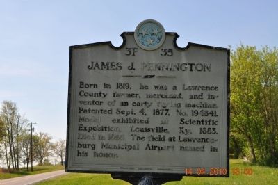
James J. Pennington
Erected by Tennessee Historical Commission. (Marker Number 3F 35.)
Topics and series. This historical marker is listed in these topic lists: Air & Space • Notable Events. In addition, it is included in the Tennessee Historical Commission series list. A significant historical date for this entry is September 4, 1863.
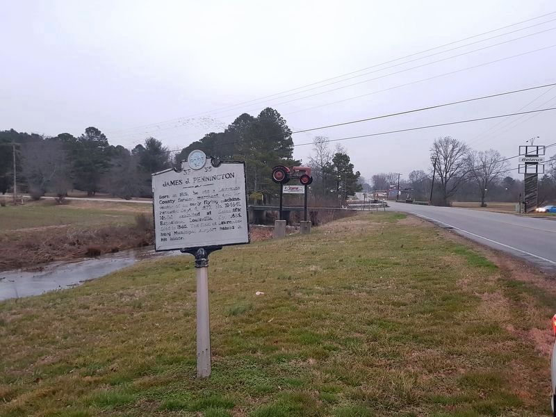
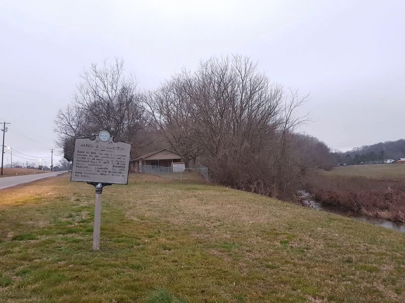
Location. 35° 13.634′ N, 87° 15.964′ W. Marker is in Lawrenceburg, Tennessee, in Lawrence County. Marker is on Pulaski Highway west of Lonestar Road, on the right when traveling west. Touch for map. Marker is in this post office area: Lawrenceburg TN 38464, United States of America. Touch for directions.
Other nearby markers. At least 8 other markers are within 4 miles of this marker, measured as the crow flies. Trail of Tears (approx. 2.1 miles away); Lawrence County War Casualties (approx. 3.6 miles away); Lawrence County War Memorials (approx. 3.6 miles away); James David Vaughn 1864-1941 (approx. 4 miles away); Trail of Tears Memorial (approx. 4 miles away); James D. Vaughan (approx. 4 miles away); Jackson's Military Road (approx. 4 miles away); Mexican War Monument (approx. 4 miles away). Touch for a list and map of all markers in Lawrenceburg.
Credits. This page was last revised on February 21, 2018. It was originally submitted on April 15, 2010, by Sandra Hughes Tidwell of Killen, Alabama, USA. This page has been viewed 1,275 times since then and 59 times this year. Photos: 1. submitted on April 15, 2010, by Sandra Hughes Tidwell of Killen, Alabama, USA. 2, 3. submitted on February 21, 2018, by J. Makali Bruton of Accra, Ghana. • Kevin W. was the editor who published this page.


