Near Dixon in Solano County, California — The American West (Pacific Coastal)
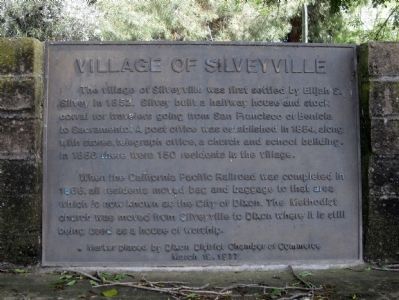
Village of Silveyville
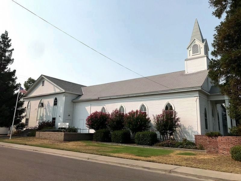
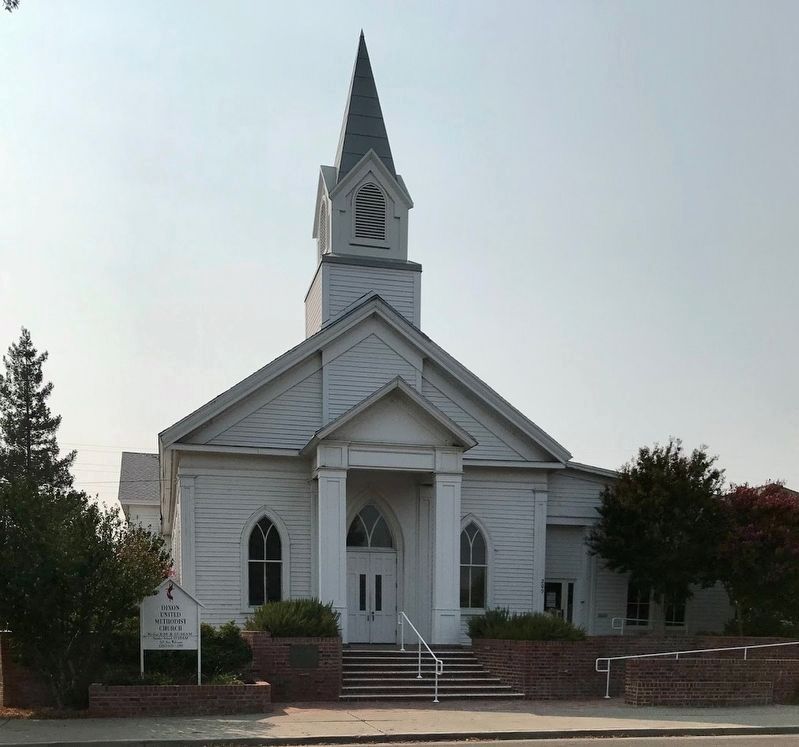
When the California Pacific Railroad was completed in 1868, all residents moved bag and baggage to that area which is now known as the City of Dixon. The Methodist Church was moved from Silveyville to Dixon where it is still being used as a house of worship.
Marker placed by Dixon District Chamber of Commerce
March 19, 1977
Erected 1977 by Dixon District Chamber of Commerce.
Topics. This historical marker is listed in these topic lists: Notable Places • Settlements & Settlers. A significant historical month for this entry is March 1865.
Location. 38° 27.66′ N, 121° 51.507′ W. Marker is near Dixon, California, in Solano County. Marker is at the intersection of Silveyville Road and Schroeder Road, on the left when traveling west on Silveyville Road. Touch for map. Marker is at or near this postal address: 6100 Silveyville Road, Dixon CA 95620, United States of America. Touch for directions.
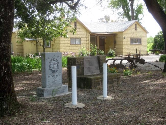
Other nearby markers. At least 8 other markers are within 8 miles of this marker, measured as the crow flies. Halfway House (a few steps from this marker); The Methodist Church of Dixon (approx. 2.1 miles away); Sacramento Valley National Cemetery (approx. 3.4 miles away); J. Robert Chapman Memorial Bridge (approx. 7.2 miles away); Vaca Valley Railroad (approx. 7.2 miles away); Wolfskill Grant (approx. 7.3 miles away); Hotel De Vilbiss (approx. 7.3 miles away); Cradwick Building (approx. 7.3 miles away). Touch for a list and map of all markers in Dixon.
More about this marker. The marker is mounted on a stone bench-like monument located beneath some trees on the south side of Silveyville Road, a couple hundred feet east of where Silveyville Road meets up with Schroeder Road.
Credits. This page was last revised on August 31, 2020. It was originally submitted on April 20, 2010, by Andrew Ruppenstein of Lamorinda, California. This page has been viewed 1,737 times since then and 72 times this year. Photos: 1, 2. submitted on April 20, 2010, by Andrew Ruppenstein of Lamorinda, California. 3, 4. submitted on August 30, 2020, by Diane Phillips of Pittsburg, California. • Syd Whittle was the editor who published this page.


