Arena District in Columbus in Franklin County, Ohio — The American Midwest (Great Lakes)
Transportation, Growth, and Development
Inscription.
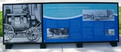
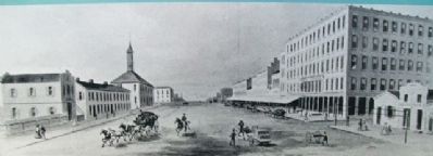
Columbus was founded specifically for the purpose of being the state capital in 1812, and was selected primarily due to its location - near the center of the state. But a lack of transportation options restricted access to town. For nearly 20 years, the people and economy struggled to survive.
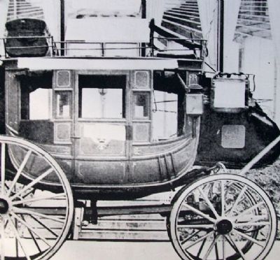
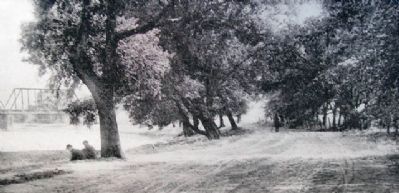
Originally reached by buffalo and “Indian” trails, the tiny town was open to travel by foot, on horseback, and finally by an infrequent stagecoach. Then, in 1830 a feeder canal opened to link Columbus with the Ohio-Erie Canal. The National Road soon followed in 1833, and Central Ohio boomed. The railroads arrived in 1850, and the thriving community never looked back.
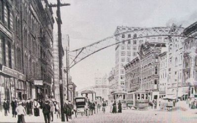
Transportation became the engine of development for the city. Columbus became the “Buggy Capital of the World,” manufacturing more carriages than any other community in America. Manufacturers of automobiles, railroad cars, streetcars and airplanes all have called Columbus home.
Two-lane and four-lane roads were built, and eventually highways crisscrossed the region. The federal interstate highway system bisected Columbus in the mid-1950s, and provided economic development opportunities for distribution and warehouse projects across Central Ohio.
Today, Columbus is a major transportation and distribution hub for the United States. Nearly 2/3 of the entire population of the nation can be reached within one day from Columbus. The city's transportation history truly laid the foundation for its growth.
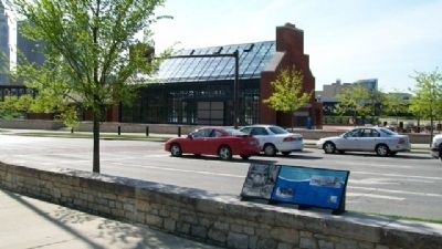
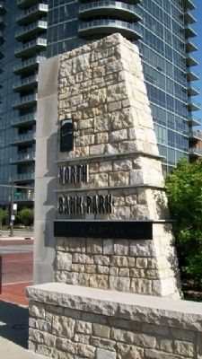
Visible from North Bank Park are examples of transportation modes that built this city. State Route 315 loosely follows the historic “Scioto Trail”, a buffalo and “Indian” trail. The Broad Street Bridge to the southeast is part of the National Road, and the original track alignments for the first railroads still exist on either side of the park. Much of the Arena District, across Spring and Long Streets, is built on the site of the Columbus Buggy Company, providing increased pedestrian and vehicular access to the park.
Erected by City of Columbus.
Topics. This historical marker is listed in these topic lists: Air & Space • Bridges & Viaducts • Industry & Commerce • Native Americans • Railroads & Streetcars • Roads & Vehicles. A significant historical year for this entry is 1812.
Location. 39° 57.933′ N, 83° 0.612′ W. Marker is in Columbus, Ohio, in Franklin County. It is in the Arena District. Marker is at the intersection of Long Street (U.S. 33) and Neil Avenue, on the left when traveling east on Long Street. Touch for map. Marker is in this post office area: Columbus OH 43215, United States of America. Touch for directions.
Other nearby markers.
At least 8 other markers are within walking distance of this marker. Native Americans (within shouting distance of this marker); William and Hannah Neil (within shouting distance of this marker); The Railroads (about 300 feet away, measured in a direct line); The Urban Face of the Scioto River (about 300 feet away); Working Class Neighborhoods (about 400 feet away); The Irish in Columbus (about 700 feet away); General John Hunt Morgan, CSA / Morgan's Escape (approx. 0.2 miles away); Columbus' First Professional Game (approx. 0.2 miles away). Touch for a list and map of all markers in Columbus.
Also see . . . North Bank Park. City website entry (Submitted on April 12, 2024, by Larry Gertner of New York, New York.)
Credits. This page was last revised on April 12, 2024. It was originally submitted on April 22, 2010, by William Fischer, Jr. of Scranton, Pennsylvania. This page has been viewed 905 times since then and 25 times this year. Photos: 1, 2, 3, 4, 5, 6. submitted on April 22, 2010, by William Fischer, Jr. of Scranton, Pennsylvania. 7. submitted on April 20, 2010, by William Fischer, Jr. of Scranton, Pennsylvania.
