Gloucester Point in Gloucester County, Virginia — The American South (Mid-Atlantic)
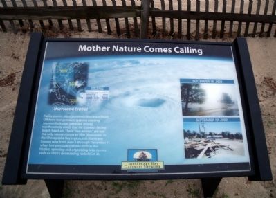
Mother Nature Comes Calling
Erected by Chesapeake Bay Gateways Network.
Topics. This historical marker is listed in these topic lists: Disasters • Notable Events. A significant historical month for this entry is June 1952.
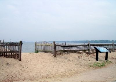
Location. 37° 14.743′ N, 76° 30.206′ W. Marker is in Gloucester Point, Virginia, in Gloucester County. Marker can be reached from the intersection of Greate Road (Virginia Route 1208) and Franklin Road. This marker is located in the Gloucester Point Beach parking area under the Coleman Bridge. Touch for map. Marker is in this post office area: Gloucester Point VA 23062, United States of America. Touch for directions.
Other nearby markers. At least 8 other markers are within walking distance of this marker. Virginia Institute of Marine Science (a few steps from this marker); Harvesting Nature's Bounty (within shouting distance of this marker); Virginia's First Shots in the Civil War (about 300 feet away, measured in a direct line); Freedom is Won (about 300 feet away); To Get to the Other Side (about 400 feet away); Port of Call (about 400 feet away); a different marker also named Port of Call (about 500 feet away); Gloucester Point (approx. ¼ mile away). Touch for a list and map of all markers in Gloucester Point.
More about this marker. On the left is an image showing the track of "Hurricane Isabel". On the right are two photos showing the devastating effects of Isabel on "September 18, 2003" and "September 19, 2003".
Credits. This page was last revised on June 16, 2016. It was originally submitted on April 26, 2010, by Bernard Fisher of Richmond, Virginia. This page has been viewed 715 times since then and 9 times this year. Photos: 1, 2, 3. submitted on April 26, 2010, by Bernard Fisher of Richmond, Virginia.


