Westminster in Carroll County, Maryland — The American Northeast (Mid-Atlantic)
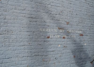
Corbitís Charge
Erected by Donated by Mrs. Paul J. Nowland through the Delaware Civil War Centennial Commission.
Topics. This historical marker is listed in this topic list: War, US Civil. A significant historical month for this entry is June 1827.
Location. 39° 33.981′ N, 76° 59.228′ W. Marker is in Westminster, Maryland, in Carroll County. Marker is at the intersection of Main Street (Maryland Route 32) and Washington Road (Maryland Route 32), on the right when traveling south on Main Street. Touch for map. Marker is in this post office area: Westminster MD 21157, United States of America. Touch for directions.
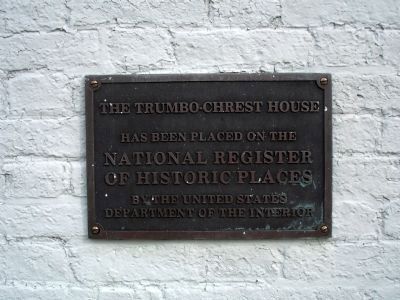
Other nearby markers. At least 8 other markers are within walking distance of this marker. Westminster MD Town Survey (within shouting distance of this marker); The Trumbo-Chrest House (within shouting distance of this marker); 12 N Church Street (approx. 0.2 miles away); American Legion Square (approx. 0.3 miles away); The Loom House (approx. 0.3 miles away); Gettysburg Campaign (approx. 0.3 miles away); a different marker also named Corbit's Charge (approx. 0.3 miles away); Votes for Women (approx. 0.3 miles away). Touch for a list and map of all markers in Westminster.
Credits. This page was last revised on June 16, 2016. It was originally submitted on October 16, 2007, by Bill Pfingsten of Bel Air, Maryland. This page has been viewed 2,441 times since then and 60 times this year. Photos: 1, 2. submitted on October 16, 2007, by Bill Pfingsten of Bel Air, Maryland. 3, 4. submitted on November 24, 2008. • J. J. Prats was the editor who published this page.


