Midtown - Downtown in Columbia in Richland County, South Carolina — The American South (South Atlantic)
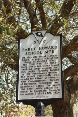
Early Howard School Site
Erected 1990 by The Howard School Community Club. (Marker Number 40-112.)
Topics. This historical marker is listed in these topic lists: African Americans • Education • Notable Buildings. A significant historical year for this entry is 1869.
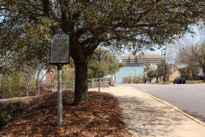
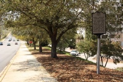
Location. 34° 0.226′ N, 81° 2.44′ W. Marker is in Columbia, South Carolina, in Richland County. It is in Midtown - Downtown. Marker is on Hampton Street (State Highway 12) near Lincoln Street, on the left when traveling east. Touch for map. Marker is in this post office area: Columbia SC 29201, United States of America. Touch for directions.
Other nearby markers. At least 8 other markers are within walking distance of this marker. Zion Baptist Church (about 600 feet away, measured in a direct line); A Living Sanctuary: Zion Baptist Church and Columbia's Civil Rights Struggle (about 600 feet away); South Carolina State Vietnam War Memorial (about 700 feet away); Victory Savings Bank (about 700 feet away); South Carolina Gold Star Families (about 700 feet away); The Columbia (S.C.) Holocaust Memorial (about 700 feet away); The Big Apple (about 700 feet away); A Tribute To All U.S. Military Personnel On This Day Of Infamy (about 800 feet away). Touch for a list and map of all markers in Columbia.
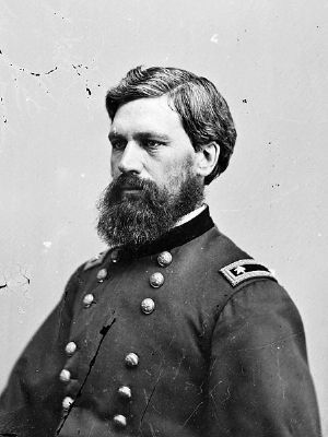
Also see . . . Oliver Otis Howard, Wikipedia entry. From May 1865 to July 1874, General Howard was commissioner of the Bureau of Refugees, Freedmen, and Abandoned Lands. He was placed in command of the Department of the Columbia in 1874, went west to Washington Territory's Fort Vancouver, where he fought in the Indian Wars, particularly against the Nez Perce, with the resultant surrender of Chief Joseph. (Submitted on May 1, 2010, by Mike Stroud of Bluffton, South Carolina.)
Credits. This page was last revised on February 16, 2023. It was originally submitted on May 1, 2010, by Mike Stroud of Bluffton, South Carolina. This page has been viewed 1,788 times since then and 28 times this year. Photos: 1, 2, 3, 4. submitted on May 1, 2010, by Mike Stroud of Bluffton, South Carolina.


