College Hill in Providence in Providence County, Rhode Island — The American Northeast (New England)
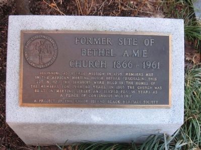
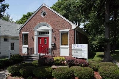
Bethel A.M.E. Church
Erected by Rhode Island Black Heritage Society.
Topics and series. This historical marker is listed in these topic lists: African Americans • Churches & Religion. In addition, it is included in the African Methodist Episcopal (AME) Church series list. A significant historical year for this entry is 1795.
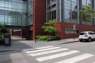
Location. 41° 49.743′ N, 71° 24.123′ W. Marker is in Providence, Rhode Island, in Providence County. It is in College Hill. Marker can be reached from Meeting Street just west of Thayer Street, on the left. Touch for map. Marker is at or near this postal address: 185 Meeting Street, Providence RI 02906, United States of America. Touch for directions.
Other nearby markers. At least 8 other markers are within walking distance of this marker. Pembroke College Tribute (within shouting distance of this marker); The Brown Bear (approx. 0.2 miles away); Hope College (approx. 0.2 miles away); Brown University Slave Trade Memorial (approx. 0.2 miles away); The First Official Residence of the President of Brown University (approx. 0.2 miles away); Indomitable (approx. 0.2 miles away); University Hall (approx. 0.2 miles away); Congdon Street Baptist Church (approx. ¼ mile away). Touch for a list and map of all markers in Providence.
More about this marker. This marker is a stop along the Rhode Island Afro-American Heritage Trail.
Credits. This page was last revised on February 8, 2023. It was originally submitted on May 2, 2010, by Krystal Appiah of Providence, Rhode Island. This page has been viewed 1,311 times since then and 26 times this year. Photos: 1. submitted on May 2, 2010, by Krystal Appiah of Providence, Rhode Island. 2, 3. submitted on June 11, 2012, by Bryan Simmons of Attleboro, Massachusetts. • Kevin W. was the editor who published this page.
Editor’s want-list for this marker. Historical photographs of Bethel A.M.E. Church. • Can you help?


