Downtown in San Antonio in Bexar County, Texas — The American South (West South Central)
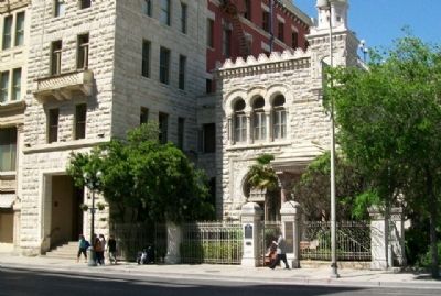
Old San Antonio National Bank Building
Inscription.
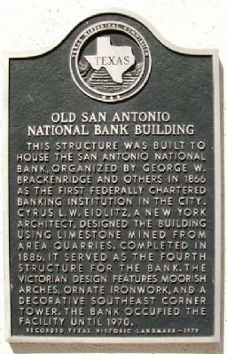
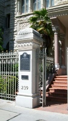
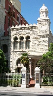
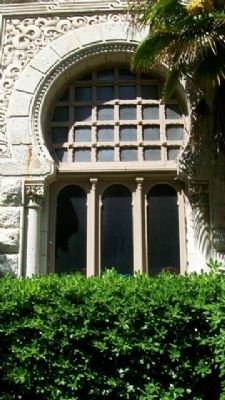
This structure was built to house the San Antonio National Bank, organized by George W. Brackenridge and others in 1866 as the first federally chartered banking institution in the city. Cyrus L.W. Eidlitz, a New York architect, designed the building using limestone mined from area quarries. Completed in 1886, it served as the fourth structure for the bank. The Victorian design features Moorish arches, ornate ironwork, and a decorative southeast corner tower. The bank occupied the facility until 1970.
Erected 1979 by Texas Historical Commission. (Marker Number 3804.)
Topics. This historical marker is listed in these topic lists: Architecture • Industry & Commerce. A significant historical year for this entry is 1866.
Location. 29° 25.463′ N, 98° 29.42′ W. Marker is in San Antonio, Texas, in Bexar County. It is in Downtown. Marker is on Commerce Street, on the right when traveling west. Marker is on Commerce Street between Navarro and St. Marys Streets. Touch for map. Marker is at or near this postal address: 239 E Commerce Street, San Antonio TX 78205, United States of America. Touch for directions.
Other nearby markers. At least 8 other markers are within walking distance of this marker. Staacke Brothers Building (within shouting distance of this marker); Site of the Old Adobe (within shouting distance of this marker); St. Mary's Institute (about 300 feet away, measured in a direct line); Stevens Building (about 400 feet away); Twohig House (about 500 feet away); Bowen's Island (about 500 feet away); Old Mill Crossing (about 500 feet away); Old St. Mary's College (about 500 feet away). Touch for a list and map of all markers in San Antonio.
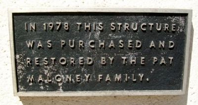
Regarding Old San Antonio National Bank Building. The building is now known as the Maloney Building.
Credits. This page was last revised on February 2, 2023. It was originally submitted on May 3, 2010, by William Fischer, Jr. of Scranton, Pennsylvania. This page has been viewed 3,742 times since then and 240 times this year. Photos: 1, 2, 3, 4, 5, 6. submitted on May 3, 2010, by William Fischer, Jr. of Scranton, Pennsylvania.
