Marker Logo HMdb.org THE HISTORICAL
MARKER DATABASE
“Bite-Size Bits of Local, National, and Global History”
Hanover in Anne Arundel County, Maryland — The American Northeast (Mid-Atlantic)
 

Wesley Grove United Methodist Church


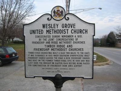
Wesley Grove United Methodist Church Marker, West Side image. Click for full size.
Photographed By F. Robby, December 30, 2002
1. Wesley Grove United Methodist Church Marker, West Side
Inscription.
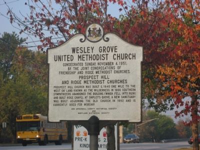
Consecrated Sunday, November 4, 1951, by the joint congregations of Friendship and Ridge Methodist Churches.

Timber Ridge and Friendship Methodist Churches

Timber Ridge Church was built c.1840 two miles to the east. It was disbanded in 1869 when Southern sympathizers built Friendship Church across the road. A new Friendship Church was built on the former Timber Ridge site in 1900 and was last used for worship on Easter, 1948, before being razed for construction of Friendship (now BWI) Airport.

Prospect Hill and Ridge Methodist Churches

Prospect Hill Church was built c.1840 one mile to the west on land known as The Wilderness. In 1866 Southern sympathizers abandoned the building (which fell into ruin) and build Ridge Chapel at Shipley’s Grove. A new sanctuary was built adjoining the old church in 1892 and is currently used for worship.
 
Erected by Ann Arundell Historical Society, Maryland Historical Society.
 
Topics. This historical marker is listed in this topic list: Churches & Religion. A significant historical date for this entry is November 4, 1886.
 
Location. 39° 9.509′ N, 76° 42.465′ W. Marker is in Hanover, Maryland, in Anne Arundel County. Marker is on Dorsey Road (Maryland
Paid Advertisement
Click on the ad for more information.
Please report objectionable advertising to the Editor.
Click or scan to see
this page online
Route 176) 0.7 miles west of Telegraph Road (Maryland Route 170), on the right when traveling west. Touch for map. Marker is at or near this postal address: 2 Leeds Rd, Hanover MD 21076, United States of America. Touch for directions.
 
Other nearby markers. At least 8 other markers are within 3 miles of this marker, measured as the crow flies. Harmans (approx. half a mile away); Stoney Run Train Station (approx. 2.2 miles away); W B & A Electric Railroad (approx. 2˝ miles away); XAF Radar Antenna (approx. 2.8 miles away); FuG 65 Wurzburg Riese (Giant) Radar Antenna (approx. 2.8 miles away); SCR-270 Radar Antenna (approx. 2.9 miles away); AN/SPG-55B Radar (approx. 2.9 miles away); Nike Ajax (approx. 2.9 miles away). Touch for a list and map of all markers in Hanover.
 
Wesley Grove United Methodist Church Marker, East Side image. Click for full size.
Photographed By F. Robby, October 17, 2007
2. Wesley Grove United Methodist Church Marker, East Side
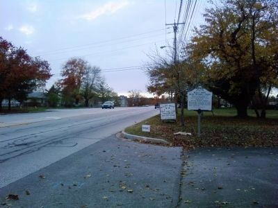
Wesley Grove United Methodist Church Marker image. Click for full size.
Photographed By Lee Hattabaugh, November 17, 2011
3. Wesley Grove United Methodist Church Marker
looking west on MD-176/Dorsey Road
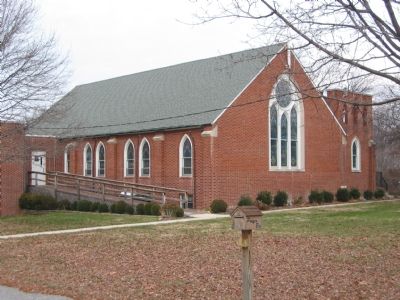
Wesley Grove United Methodist Church image. Click for full size.
Photographed By F. Robby, December 30, 2002
4. Wesley Grove United Methodist Church
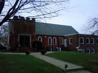
Wesley Grove United Methodist Church image. Click for full size.
Photographed By Lee Hattabaugh, November 17, 2011
5. Wesley Grove United Methodist Church
East side and entrance to the church
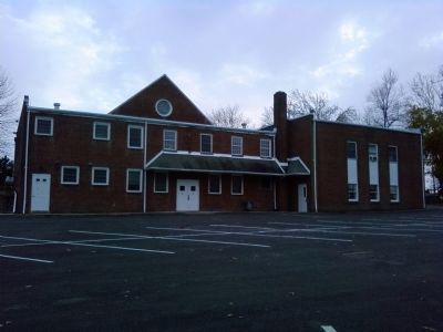
Wesley Grove United Methodist Church image. Click for full size.
Photographed By Lee Hattabaugh, November 17, 2011
6. Wesley Grove United Methodist Church
North/back side of the church
Wesley Grove United Methodist Church image. Click for full size.
Photographed By Lee Hattabaugh, November 17, 2011
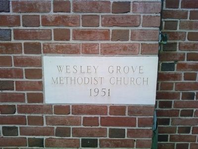
7. Wesley Grove United Methodist Church
One of several cornerstones around the building - Wesley Grove Methodist Church 1951
Wesley Grove United Methodist Church image. Click for full size.
Photographed By Lee Hattabaugh, November 17, 2011
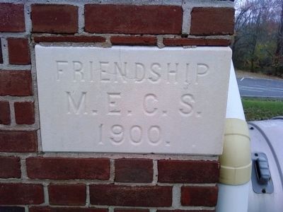
8. Wesley Grove United Methodist Church
One of several cornerstones around the building - Friendship M.E.C.S. 1900
Wesley Grove United Methodist Church image. Click for full size.
Photographed By Lee Hattabaugh, November 17, 2011
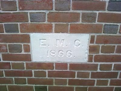
9. Wesley Grove United Methodist Church
One of several cornerstones around the building - E.M.C. 1866
Wesley Grove United Methodist Church image. Click for full size.
Photographed By Lee Hattabaugh, November 17, 2011
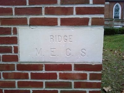
10. Wesley Grove United Methodist Church
One of several cornerstones around the building - Ridge M.E.C.S.
 
 
Credits. This page was last revised on April 3, 2023. It was originally submitted on October 13, 2007, by F. Robby of Baltimore, Maryland. This page has been viewed 2,174 times since then and 58 times this year. Last updated on October 18, 2007, by F. Robby of Baltimore, Maryland. Photos:   1. submitted on October 13, 2007, by F. Robby of Baltimore, Maryland.   2. submitted on October 18, 2007, by F. Robby of Baltimore, Maryland.   3. submitted on November 17, 2011, by Lee Hattabaugh of Capshaw, Alabama.   4. submitted on October 13, 2007, by F. Robby of Baltimore, Maryland.   5, 6, 7, 8, 9, 10. submitted on November 17, 2011, by Lee Hattabaugh of Capshaw, Alabama. • J. J. Prats was the editor who published this page.
Share this page.  
Share on Tumblr
m=3036

CeraNet Cloud Computing sponsors the Historical Marker Database.
This website earns income from purchases you make after using our links to Amazon.com. We appreciate your support.
Paid Advertisement
Apr. 18, 2024