Shandon in Columbia in Richland County, South Carolina — The American South (South Atlantic)
Shandon
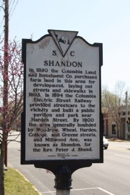
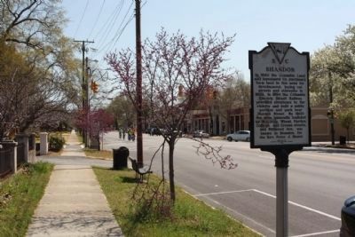
In 1890 the Columbia Land and Investment Co. purchased farm land in this area for development, laying out streets and sidewalks in 1893. In 1894 the Columbia Electric Street Railway provided streetcars to the vicinity and built a public pavilion and park near Harden Street. By 1900 the area generally bounded by Woodrow, Wheat, Harden, College, and Greene streets, and Millwood Ave., was known as Shandon, for the Rev. Peter J. Shand.
(Reverse text)
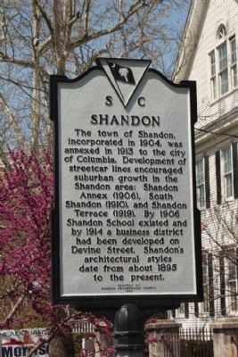
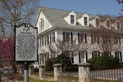
The town of Shandon, incorporated in 1904, was annexed in 1913 to the city of Columbia. Development of streetcar lines encouraged suburban growth in the Shandon area: Shandon Annex (1906), South Shandon (1910), and Shandon Terrace (1919). By 1906 Shandon School existed, and by 1914 a business district had been developed on Devine Street. Shandon's architectural styles date from about 1895 to the present.
Erected 1986 by Shandon Neighborhood Council. (Marker Number 40-102.)
Topics. This historical marker is listed in these topic lists: Notable Places • Settlements & Settlers. A significant historical year for this entry is 1890.
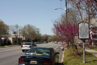
Location. 33° 59.898′ N, 81° 0.234′ W. Marker is in Columbia, South Carolina, in Richland County. It is in Shandon. Marker is on Devine Street, on the right when traveling west. Located between Maple and Woodrow Streets. Touch for map. Marker is in this post office area: Columbia SC 29205, United States of America. Touch for directions.
Other nearby markers. At least 8 other markers are within walking distance of this marker. Shandon Presbyterian Church (about 700 feet away, measured in a direct line); Early Columbia Racetrack (approx. ¼ mile away); Tree of Life Synagogue (approx. half a mile away); Paul R. Redfern (approx. 0.6 miles away); Redfern Field / Paul R. Redfern (approx. 0.6 miles away); The Boys of Richland County (approx. 0.8 miles away); Waverly Five and Dime / George Elmore and Elmore v. Rice (approx. 0.9 miles away); A.S. Salley House (approx. 0.9 miles away). Touch for a list and map of all markers in Columbia.
Credits. This page was last revised on February 16, 2023. It was originally submitted on May 6, 2010, by Mike Stroud of Bluffton, South Carolina. This page has been viewed 851 times since then and 11 times this year. Photos: 1, 2, 3, 4, 5. submitted on May 6, 2010, by Mike Stroud of Bluffton, South Carolina.
