Columbia in Richland County, South Carolina — The American South (South Atlantic)
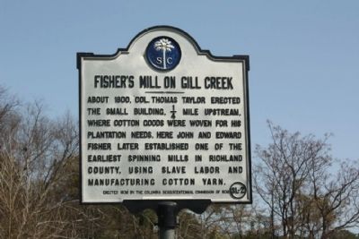
Fisher's Mill on Gill Creek
Erected 1938 by The Columbia Sesquicentennial Commission of 1936. (Marker Number 40-40.)
Topics. This historical marker is listed in these topic lists: Industry & Commerce • Notable Buildings. A significant historical year for this entry is 1800.
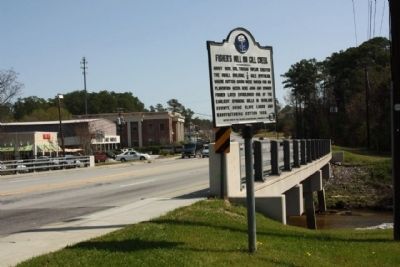
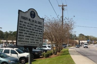
Location. 34° 1.113′ N, 80° 57.834′ W. Marker is in Columbia, South Carolina, in Richland County. Marker is on Forest Drive (State Highway 12), on the right when traveling east. Located between Trenholm Road and Gregg Parkway,Forest Acres Community. Touch for map. Marker is in this post office area: Columbia SC 29206, United States of America. Touch for directions.
Other nearby markers. At least 8 other markers are within 2 miles of this marker, measured as the crow flies. Bethel Methodist Church (approx. 0.6 miles away); 30th Inf Division (approx. 1.2 miles away); 31st Inf Division (approx. 1.2 miles away); 4th Infantry Division (approx. 1.2 miles away); Bridge at Remagen Stone (approx. 1.2 miles away); 108th Division (approx. 1.2 miles away); Darby Field (approx. 1.3 miles away); 26th Inf Division (approx. 1.3 miles away). Touch for a list and map of all markers in Columbia.
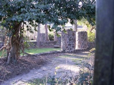
Regarding Fisher's Mill on Gill Creek. Col. Taylor built a mill on Gill Creek in 1796. The ruins stand near the present Old Mill Circle off Lakeview Circle off Trenholm Road. One of the original millstones lies within the walls of the ruins. Cotton goods were woven at the mill for Col. Taylor's plantation use. The mill was called Taylor's Mill. Later John and Edward Fisher operated it as a cotton spinning mill, and it became known as Fisher's Mill.
Credits. This page was last revised on June 16, 2016. It was originally submitted on May 8, 2010, by Mike Stroud of Bluffton, South Carolina. This page has been viewed 1,655 times since then and 60 times this year. Photos: 1, 2, 3. submitted on May 8, 2010, by Mike Stroud of Bluffton, South Carolina. 4, 5. submitted on February 1, 2012, by Anna Inbody of Columbia, South Carolina.


