Ninety Six in Greenwood County, South Carolina — The American South (South Atlantic)
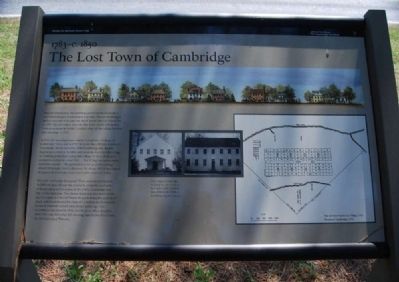
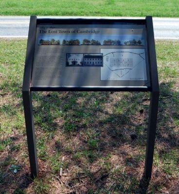
The Lost Town of Cambridge
1783 - c. 1850
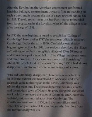
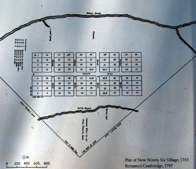
After the Revolution, the American government confiscated land that belonged to prominent Loyalists. You are standing on such a tract, and it became the site of a new town of Ninety Six in 1783. The old town, near the Star Fort -- never rebounded from its occupation by the Loyalists, who left the village in ruins after the siege of 1781.
In 1785 the state legislature voted to establish a "College of Cambridge" here, and in 1787 the town was officially renamed Cambridge. But by the early 1800s Cambridge was already beginning to decline. In 1806, one resident described the village as "nothing more than a snug little village of 15 or 20 houses and stores on top of a small hill...The Village has seven stores and three taverns...Its appearance is not all flourishing." About 200 people lived in the town. By about 1850 it had almost disappeared, and today there is no visible trace of a town.
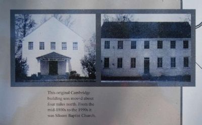
Why did Cambridge disappear? There were several factors. In 1800 the judicial seat was moved to Abbeville, and when railroads came to this region in the 1850s, Cambridge was not on the main line. The closest depot was two miles north, and the modern town of Ninety Six grew along this section of track, which connected the cities of Columbia and Greenville. Isolated, residents moved away from Cambridge. The courthouse was razed in 1856, and the post office closed in 1860. The only attraction left standing was the Star Fort from the Revolutionary War era.
Erected 2009 by National Park Service.
Topics. This historical marker is listed in these topic lists: Colonial Era • Education • Settlements & Settlers. A significant historical year for this entry is 1783.
Location. 34° 8.682′ N, 82° 1.478′ W. Marker is in Ninety Six, South Carolina, in Greenwood County. Marker is at the intersection of South Cambridge Street (State Highway 248) and County Route 225, on the right when traveling south on South Cambridge Street. Touch for map. Marker is in this post office area: Ninety Six SC 29666, United States of America. Touch for directions.
Other nearby markers. At least 8 other markers are within walking distance of this marker. Ninety Six National Historic Site (here, next to this marker); Ninety Six National Historic Site / Greenwood County (a few steps from this marker); First Blood Shed for Liberty (within shouting distance of this marker); The Stockade Fort (about 400 feet away, measured in a direct line); Militiamen (about 500 feet away); "Light Horse Harry" Lee Takes the Stockade Fort (about 500 feet away); Sharpshooter (about 500 feet away); Monument to James Birmingham (about 600 feet away). Touch for a list and map of all markers in Ninety Six.
Credits. This page was last revised on November 2, 2018. It was originally submitted on May 10, 2010, by Brian Scott of Anderson, South Carolina. This page has been viewed 1,145 times since then and 49 times this year. Last updated on October 30, 2018, by Bruce Guthrie of Silver Spring, Maryland. Photos: 1, 2, 3, 4, 5, 6. submitted on May 10, 2010, by Brian Scott of Anderson, South Carolina. • Andrew Ruppenstein was the editor who published this page.
