Boston in Nelson County, Kentucky — The American South (East South Central)
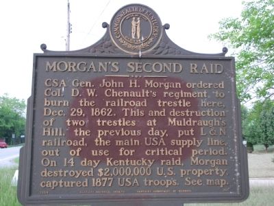
Morgan's Second Raid
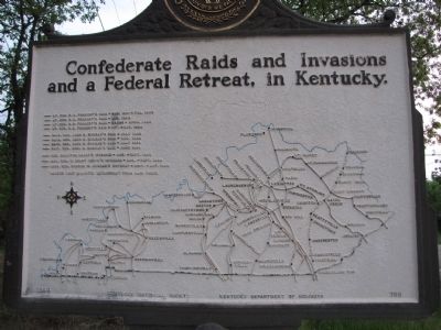
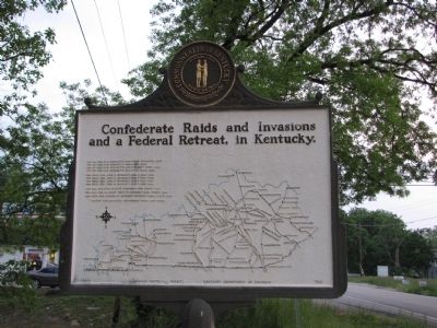
Confederate Raids and Invasions, and a Federal Retreat, in Kentucky
(Reverse):
Confederate Raids and Invasions and a Federal Retreat, in Kentucky
Erected 1964 by Kentucky Historical Society/Kentucky Department of Highways. (Marker Number 705.)
Topics and series. This historical marker is listed in these topic lists: Railroads & Streetcars • War, US Civil. In addition, it is included in the Kentucky - Confederate Raids and Invasions, and a Federal Retreat, and the Kentucky Historical Society series lists. A significant historical month for this entry is December 1804.
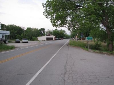
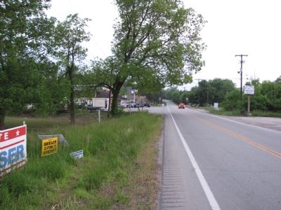
Location. 37° 47.292′ N, 85° 40.313′ W. Marker is in Boston, Kentucky, in Nelson County. Marker is at the intersection of Boston Road (U.S. 62) and Lebanon Junction Road (State Road 61), on the right when traveling east on Boston Road. Touch for map. Marker is in this post office area: Boston KY 40107, United States of America. Touch for directions.
Other nearby markers. At least 8 other markers are within 8 miles of this marker, measured as the crow flies. Skirmish at Rolling Fork (approx. 3.8 miles away); Sherman Here (approx. 4.6 miles away); Lebanon Junction (approx. 4.6 miles away); Goodwin (Goodin) Fort (approx. 6.8 miles away); The First Cedar Creek Baptist Church (approx. 7 miles away); Cedar Creek Baptist (approx. 7.2 miles away); Belmont Furnace / Iron Made in Kentucky (approx. 7.4 miles away); Stockade at Belmont (approx. 7.7 miles away).
Credits. This page was last revised on March 12, 2020. It was originally submitted on May 11, 2010, by Lee Hattabaugh of Capshaw, Alabama. This page has been viewed 1,289 times since then and 18 times this year. Last updated on May 12, 2010, by Lee Hattabaugh of Capshaw, Alabama. Photos: 1. submitted on May 11, 2010, by Lee Hattabaugh of Capshaw, Alabama. 2, 3, 4, 5. submitted on May 12, 2010, by Lee Hattabaugh of Capshaw, Alabama. • Kevin W. was the editor who published this page.
