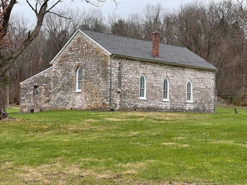
Near Winchester in Clark County, Kentucky — The American South (East South Central)
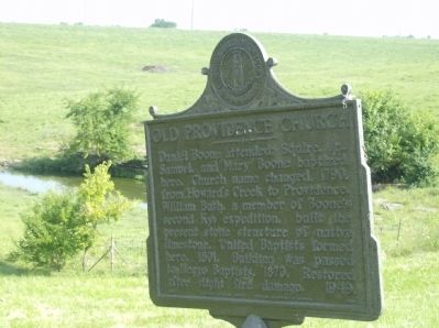
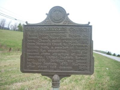
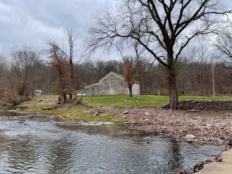
Old Providence Church
Erected 1967 by Kentucky Historical Society, Kentucky Department of Highways. (Marker Number 1068.)
Topics and series. This historical marker is listed in these topic lists: African Americans • Architecture • Churches & Religion • Exploration • Settlements & Settlers. In addition, it is included in the Kentucky Historical Society series list. A significant historical year for this entry is 1790.
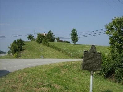
Location. 37° 56.135′ N, 84° 14.076′ W. Marker is near Winchester, Kentucky, in Clark County. Marker is at the intersection of Boonesboro Road (Kentucky Route 627) and Old Stone Church Road, on the right when traveling south on Boonesboro Road. Touch for map. Marker is in this post office area: Winchester KY 40391, United States of America. Touch for directions.
Other nearby markers. At least 8 other markers are within 3 miles of this marker, measured as the crow flies. Daniel Boone, Surveyor / Bush Settlement (approx. 0.7 miles away); Salt Spring Trace (approx. 2.4 miles away); Colonel John Holder / Howard's Creek Industrial Center (approx. 2.4 miles away); Boone-Callaway Girls Kidnapping (approx. 2.8 miles away); Site of Fort Boonesborough 1775-1783 (approx. 3 miles away); "Sycamore Hollow" (approx. 3 miles away); Daniel Boone's Trail (approx. 3 miles away); Fort Boonsborough Site (approx. 3 miles away). Touch for a list and map of all markers in Winchester.
Credits. This page was last revised on December 25, 2020. It was originally submitted on December 5, 2009, by Robert H. Moore, II of Winchester, Virginia. This page has been viewed 2,911 times since then and 77 times this year. Last updated on May 18, 2010, by John Desaulniers, Jr. of Mingo, Iowa. Photos: 1. submitted on December 5, 2009, by Robert H. Moore, II of Winchester, Virginia. 2. submitted on May 18, 2010, by John Desaulniers, Jr. of Mingo, Iowa. 3. submitted on December 5, 2009, by Robert H. Moore, II of Winchester, Virginia. 4, 5. submitted on December 23, 2020, by Frank Profitt of Georgetown, Kentucky. • Kevin W. was the editor who published this page.
