Lexington in Fayette County, Kentucky — The American South (East South Central)
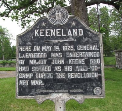
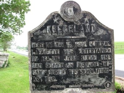
Keeneland
Erected by Commonwealth of Kentucky Historical Markers Society. (Marker Number 2.)
Topics and series. This historical marker is listed in this topic list: War, US Revolutionary. In addition, it is included in the Kentucky Historical Society, and the Lafayette’s Farewell Tour series lists. A significant historical month for this entry is May 1756.
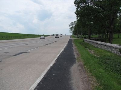
Location. 38° 2.617′ N, 84° 35.987′ W. Marker is in Lexington, Kentucky, in Fayette County. Marker is on Versailles Road (U.S. 60) 0.3 miles west of Man O War Boulevard, on the right when traveling west. Touch for map. Marker is in this post office area: Lexington KY 40510, United States of America. Touch for directions.
Other nearby markers. At least 8 other markers are within 3 miles of this marker, measured as the crow flies. Kenton's Blue Hole (approx. 2.2 miles away); Pisgah (approx. 2.9 miles away); The Big Sink (approx. 2.9 miles away); Redd Road (approx. 2.9 miles away); Lexington-Frankfort Scenic Corridor Area (approx. 2.9 miles away); Nugent's Crossroad - Midway - Wallace Station (approx. 2.9 miles away); Idle Hour Farm (approx. 2.9 miles away); The West Fayette County (approx. 2.9 miles away). Touch for a list and map of all markers in Lexington.
Credits. This page was last revised on November 19, 2019. It was originally submitted on May 18, 2010, by Lee Hattabaugh of Capshaw, Alabama. This page has been viewed 1,063 times since then and 24 times this year. Photos: 1, 2, 3. submitted on May 18, 2010, by Lee Hattabaugh of Capshaw, Alabama. 4. submitted on July 14, 2012, by Ken Smith of Milan, Tennessee. • Bill Pfingsten was the editor who published this page.


