Simpsonville in Greenville County, South Carolina — The American South (South Atlantic)
Bethel Church Cemetery
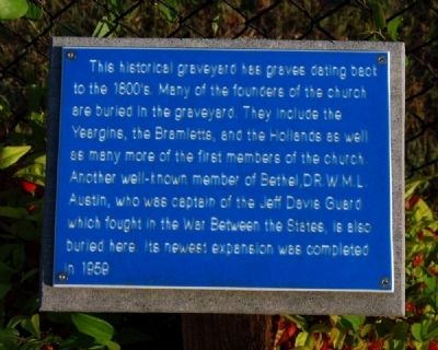
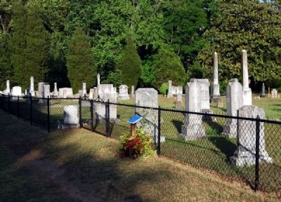
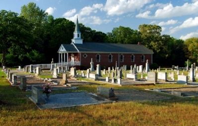
This historical graveyard has graves dating back to the 1800s. Many of the founders of the church are buried in the graveyard. They include the Yeargins, the Bramletts, and the Hollands as well as many more of the first members of the church. Another well-known member of Bethel, Dr. W.M.L. Austin, was the captain of the Jeff Davis Guard which fought in the War Between the States, is also buried here. Its newest expansion was completed in 1959.
Erected by Bethel United Methodist Church.
Topics. This historical marker is listed in this topic list: Cemeteries & Burial Sites. A significant historical year for this entry is 1959.
Location. 34° 46.683′ N, 82° 16.333′ W. Marker is in Simpsonville, South Carolina, in Greenville County. Marker is at the intersection of Holland Road and Balcome Boulevard on Holland Road. Touch for map. Marker is at or near this postal address: 500 Holland Road, Simpsonville SC 29681, United States of America. Touch for directions.
Other nearby markers. At least 10 other markers are within 3 miles of this marker, measured as the crow flies. Bethel Church (here, next to this marker); Bethel Community Training Ground (within shouting distance of this marker); The Old Arbor (within shouting distance of this marker); The Old Oak Tree (within shouting distance of this marker); Gilder (approx. 1.3 miles away); Oakland Plantation (approx. 1˝ miles away); Mauldin (approx. 1.9 miles away); Mauldin United Methodist Church (approx. 2 miles away); The History of the Gosnell Cabin (approx. 2 miles away); Holy Cross Episcopal Church Labyrinth (approx. 2.7 miles away). Touch for a list and map of all markers in Simpsonville.
Also see . . . Find a Grave: Bethel United Methodist Church Cemetery. Including photos and a complete list of interments. (Submitted on May 19, 2010, by Brian Scott of Anderson, South Carolina.)
Credits. This page was last revised on November 18, 2020. It was originally submitted on May 19, 2010, by Brian Scott of Anderson, South Carolina. This page has been viewed 1,334 times since then and 40 times this year. Photos: 1, 2, 3. submitted on May 19, 2010, by Brian Scott of Anderson, South Carolina.


