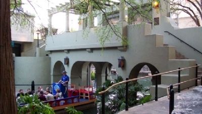
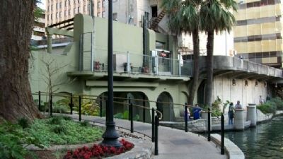
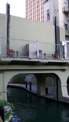
Downtown in San Antonio in Bexar County, Texas — The American South (West South Central)
San Antonio's River Walk and Flood Control System
Inscription.
Civil Engineering Landmark
Erected 1996 by American Society of Civil Engineers.
Topics and series. This historical marker is listed in this topic list: Waterways & Vessels. In addition, it is included in the ASCE Civil Engineering Landmarks series list.
Location. 29° 25.503′ N, 98° 29.536′ W. Marker is in San Antonio, Texas, in Bexar County. It is in Downtown. Marker is on the San Antonio River north flood control gate superstructure, along the River Walk, about 300 feet NW of the intersection of Commerce and St. Mary's Streets. Touch for map. Marker is in this post office area: San Antonio TX 78205, United States of America. Touch for directions.
Other nearby markers. At least 8 other markers are within walking distance of this marker. San Antonio River Walk (a few steps from this marker); John Twohig Lived on These Grounds (a few steps from this marker); Twin Cypress Mexican Sniper Tree (a few steps from this marker); Perote Prisoners (within shouting distance of this marker); Twohig House (within shouting distance of this marker); Main Plaza - Plaza de las Islas (about 300 feet away, measured in a direct line); Council House (about 300 feet away); American Dancers (about 300 feet away). Touch for a list and map of all markers in San Antonio.
Also see . . . The San Antonio River. (Submitted on May 19, 2010, by William Fischer, Jr. of Scranton, Pennsylvania.)
Credits. This page was last revised on February 2, 2023. It was originally submitted on May 19, 2010, by William Fischer, Jr. of Scranton, Pennsylvania. This page has been viewed 1,532 times since then and 55 times this year. Photos: 1, 2, 3, 4, 5, 6. submitted on May 19, 2010, by William Fischer, Jr. of Scranton, Pennsylvania.
