Near Richmond in Madison County, Kentucky — The American South (East South Central)
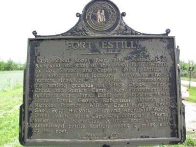
Fort Estill
Established about four miles Southeast of Richmond and east of this place in 1779-1780, by Col. Samuel and Captain James Estill. It was noted for land locators, surveyors, horse hunters, travelers, and scouts. It commanded the hunting grounds on Silver Creek, Muddy Creek and Station Camp. Some prominent inhabitants were James Estill and his slave Monk, Samuel Estill, George Robertson, Joseph and Nicholas Proctor, William Cradlebaugh, David Gass, Peter Hackett, John and Archibald Woods, David Lynch, Adam Caperton, John and Thomas Miller, and Green Clay. A little later Col. Estill established Estill's Station about 2 miles east of the Fort. (See other side)
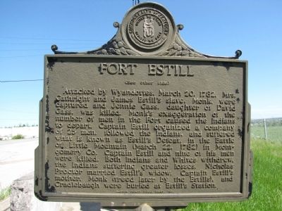
(Back):
(See other side) Attacked by Wyandottes, March 20, 1781, Mrs. Cathright and James Estill's slave, Monk, were captured and Jenned Gass, daughter of David Gass, was killed. Monk's exaggeration of the number of men in the Fort caused the Indians to depart. Captain Estill organized a company of 25 men, followed the Indians, and suffered what is known as Estill's Defeat, in the Battle of Little Mountain (March 22, 1782) in Montgomery Co. Captain Estill and nine of his men were killed. Both Indians and Whites withdrew, the Indians suffering greater losses. Nicholas Proctor married Estill's widow. Captain Estill's mother, Monk (freed later by the Estills), and Cradlebaugh were buried at Estill's Station.
Erected 1956 by Madison County Fiscal Court.
Topics. This historical marker is listed in these topic lists: Exploration • Forts and Castles • Settlements & Settlers. A significant historical date for this entry is March 20, 1887.
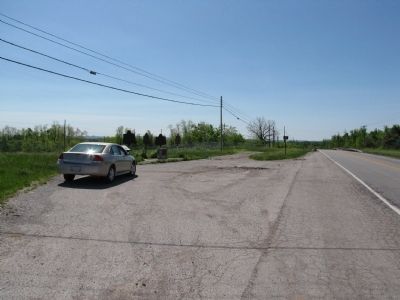
Location. 37° 42.764′ N, 84° 16.133′ W. Marker is near Richmond, Kentucky, in Madison County. Marker is at the intersection of Berea Road (U.S. 25/421) and Pace Ramsey Road, on the left when traveling south on Berea Road. Touch for map. Marker is in this post office area: Richmond KY 40475, United States of America. Touch for directions.
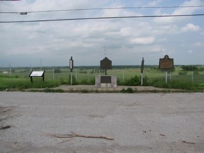
Other nearby markers. At least 8 other markers are within walking distance of this marker. Battle of Richmond, Ky. (here, next to this marker); Twitty's or Little Fort (here, next to this marker); Daniel Boone's Trace (here, next to this marker); Daniel Boone's Trail (here, next to this marker); Race to Richmond (a few steps from this marker); Site of Fort Twetty (approx. 0.7 miles away); "Defeat and Destruction Seemed Inevitable" (approx. 0.9 miles away); "Rally, boys! Rally to the Colors!" (approx. 0.9 miles away). Touch for a list and map of all markers in Richmond.
Credits. This page was last revised on June 16, 2016. It was originally submitted on May 21, 2010, by Lee Hattabaugh of Capshaw, Alabama. This page has been viewed 2,922 times since then and 163 times this year. Photos: 1, 2, 3, 4. submitted on May 21, 2010, by Lee Hattabaugh of Capshaw, Alabama. • Craig Swain was the editor who published this page.


