Saukville in Ozaukee County, Wisconsin — The American Midwest (Great Lakes)
The Saukville Trails
Inscription.
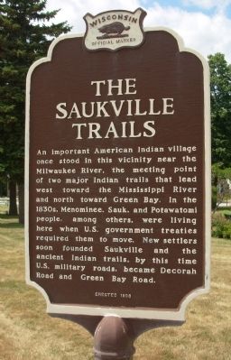
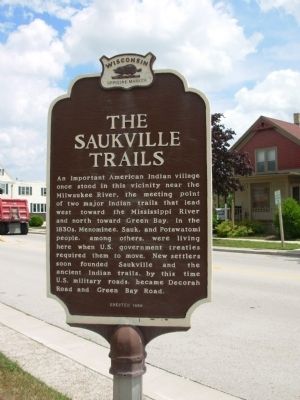
An important American Indian village once stood in this vicinity near the Milwaukee River, the meeting point of two major Indian trails that lead west toward the Mississippi River and north toward Green Bay. In the 1830’s, Menominee, Sauk, and Potawatomi people, among others, were living here when the U.S. government treaties required them to move. New settlers soon founded Saukville and the ancient Indian trails, by this time U.S. military roads, became Decorah Road and Green Bay Road.
Erected 1998 by State Historical Society of Wisconsin. (Marker Number 375.)
Topics and series. This historical marker is listed in these topic lists: Native Americans • Roads & Vehicles. In addition, it is included in the Wisconsin Historical Society series list.
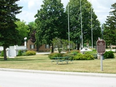
Location. 43° 22.873′ N, 87° 56.345′ W. Marker is in Saukville, Wisconsin, in Ozaukee County. Marker is at the intersection of Green Bay Avenue and Decorah Street, on the right when traveling west on Green Bay Avenue. Touch for map. Marker is in this post office area: Saukville WI 53080, United States of America. Touch for directions.
Other nearby markers. At least 8 other markers are within 4 miles of this marker, measured as the crow flies. In memory of Pater J Schardt (approx. ¼ mile away); Anchor from Steamer Toledo (approx. 2.9 miles away); The Old Ozaukee County Courthouse (approx. 3.4 miles away); Port Washington Civil War Draft Riot (approx. 3½ miles away); Wisconsin Street School Bell (approx. 3½ miles away); Port Washington Fire Engine House (approx. 3½ miles away); Leland Stanford (approx. 3½ miles away); Port Washington Power Plant (approx. 3½ miles away).
Credits. This page was last revised on June 16, 2016. It was originally submitted on May 28, 2010, by Paul Fehrenbach of Germantown, Wisconsin. This page has been viewed 1,126 times since then and 46 times this year. Photos: 1, 2, 3. submitted on May 28, 2010, by Paul Fehrenbach of Germantown, Wisconsin. • Bill Pfingsten was the editor who published this page.


