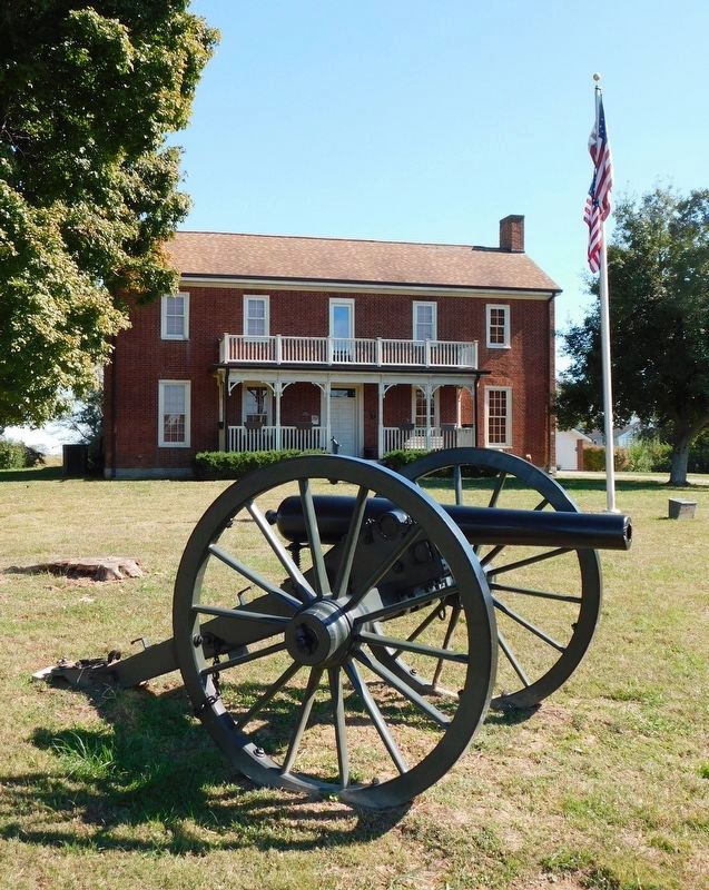
Near Richmond in Madison County, Kentucky — The American South (East South Central)
Fight at Rogersville
August 29, 1862
"On the 29th I made a reconnaissance of the enemy with my whole command." Col. John Scott, 1st Louisiana Cavalry
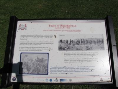
Gen. Mahlon Manson was south of Richmond when he received word that Confederate cavalry was to his south. Manson marched his brigade forward, placing his artillery on a rise and deployed his infantry on both sides of the Old State Road.
Confederate Col. John Scott was about one-half mile north of here when he realized that there was a large Union force to his north. He quickly deployed his cavalry on the east side of the Old State Road.
Lt. Edwin O. Lanphere's 1st Michigan Light Artillery fired on the Confederate cavalry. The Confederates responded with small arms fire and their two six-pounder howitzers but with little effect.
Scott, unable to silence the Federal artillery and no doubt realizing that his 850 troopers faced a much larger infantry force, withdrew. Company E of the 55th Indiana pursued, capturing one howitzer and several prisoners.
Manson and his Indiana infantrymen slept that night with an easy victory under their belts; a victory that may have mistakenly led them to believe that they could easily defeat the Confederates in their front.
"I here deployed one company of my command...and sent them down the road toward Rogersville as skirmishers. They found the enemy in front retreating through Rogersville and pursued so closely that they captured and brought back to us one piece of the enemy's artillery, which had been used with but little effect, upon us but a short time previous." Col. John R. Mahan, 55th Indiana
Erected by Civil War Discovery Trail.
Topics. This historical marker is listed in this topic list: War, US Civil.
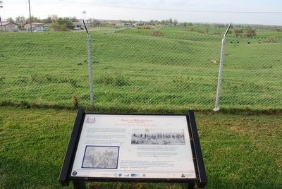
Location. 37° 41.079′ N, 84° 15.505′ W. Marker is near Richmond, Kentucky, in Madison County. Marker can be reached from the intersection of Battlefield Memorial Highway (U.S. 421) and Berea Road (U.S. 25), on the left when traveling south. Marker is on the grounds of the Battle of Richmond Visitor's Center. Touch for map. Marker is in this post office area: Richmond KY 40475, United States of America. Touch for directions.
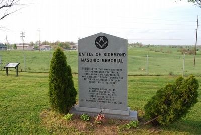
Other nearby markers. At least 8 other markers are within walking distance of this marker. Sturdy, Accurate and Reliable (a few steps from this marker); Battle of Richmond Masonic Memorial (a few steps from this marker); Route of Advance (within shouting distance of this marker); Battle of Richmond (within shouting distance of this marker); An Inexperienced Army (within shouting distance of this marker); Reforming The Union Line (within shouting distance of this marker); Patrick Ronayne Cleburne (within shouting distance of this marker); Confederates In Rogersville (within shouting distance of this marker). Touch for a list and map of all markers in Richmond.
Credits. This page was last revised on December 2, 2022. It was originally submitted on June 4, 2010, by Lee Hattabaugh of Capshaw, Alabama. This page has been viewed 1,008 times since then and 31 times this year. Photos: 1. submitted on June 4, 2010, by Lee Hattabaugh of Capshaw, Alabama. 2, 3. submitted on July 27, 2015, by Brandon Fletcher of Chattanooga, Tennessee. 4. submitted on November 15, 2022, by Craig Doda of Napoleon, Ohio. 5. submitted on February 21, 2021, by Bradley Owen of Morgantown, West Virginia. • Craig Swain was the editor who published this page.
