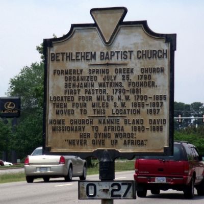
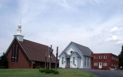
Bethlehem Baptist Church
Formerly Spring Creek Church. Organized, July 25, 1790. Benjamin Watkins, founder and first pastor, 1790-1831. Located four miles northwest, 1790-1855. Then four miles southwest, 1855-1897. Moved to this location, 1897.
Home church of Nannie Bland David, Missionary to Africa, 1880-1885. Her dying words: "Never give up Africa." (Marker Number O-27.)
Topics and series. This historical marker is listed in these topic lists: Churches & Religion • Women. In addition, it is included in the Virginia Department of Historic Resources (DHR) series list. A significant historical date for this entry is July 25, 1700.
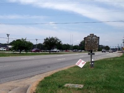
Location. This marker has been replaced by another marker nearby. It was located near 37° 30.144′ N, 77° 34.453′ W. Marker was in North Chesterfield, Virginia, in Chesterfield County. Marker was at the intersection of Midlothian Turnpike (U.S. 60) and Moorefield Park Drive, on the right when traveling west on Midlothian Turnpike. Touch for map. Marker was at or near this postal address: 9600 Midlothian Turnpike, Richmond VA 23235, United States of America. Touch for directions.
Other nearby markers. At least 8 other markers are within 4 miles of this location, measured as the crow flies. A different marker also named Bethlehem Baptist Church (here, next to this marker); First Railroad in Virginia (approx.
Related marker. Click here for another marker that is related to this marker. This marker has been replaced with the linked marker.
Also see . . . Bethlehem Baptist Church. (Submitted on June 5, 2010, by Bernard Fisher of Richmond, Virginia.)
Credits. This page was last revised on July 6, 2021. It was originally submitted on June 5, 2010, by Bernard Fisher of Richmond, Virginia. This page has been viewed 1,124 times since then and 27 times this year. Photos: 1, 2, 3. submitted on June 5, 2010, by Bernard Fisher of Richmond, Virginia.


