Near Richmond in Madison County, Kentucky — The American South (East South Central)
Battle of Richmond
Phase One - Kingston
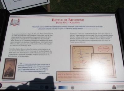
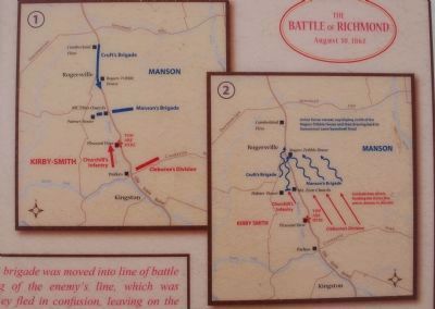
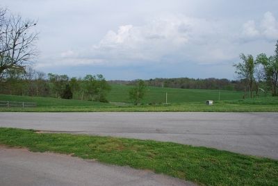
In the early morning hours of August 30, 1862, Gen. Patrick Cleburne moved his soldiers up the Old State Road to Kingston. Union artillery near Mt. Zion Church opened fire. Cleburne unlimbered his guns and returned fire while deploying his men along the Irvine-Lancaster Pike (now the Crooksville Road). Around 7:30 AM, Confederate commander Gen. Edmund Kirby Smith arrived on the field with Gen. James Churchill's division. Kirby Smith ordered Cleburne to delay a general assault until Churchill moved one of his brigades up a ravine west of the Old State Road.
Union Gen. Mahlon Manson weakened his position by moving men to the east. Cleburne matched Manson's movements and the two lines fought in the woods east of here. The Confederates repulsed that Union assault just as Col. Thomas McCray's First brigade prepared to attack the western end of the Union line south of Mt. Zion Church.
A portion of Union Gen. Charles Croft's brigade arrived from Richmond as McCray's brigade appeared near the church. One of Cruft's regiments attacked McCray's artillery with disastrous results. McCray's Confederates outflanked Manson's brigade and the whole Confederate line east of the road came forward. The Union right crumbled and retreated north. The rest of the Federal line soon followed.
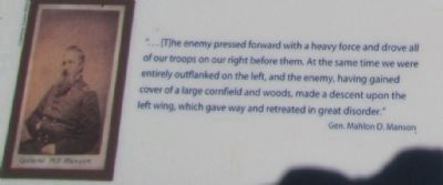
"...[T]he enemy pressed forward with a heavy force and drove all of our troops on our right before them. At the same time we were entirely outflanked on the left, and the enemy, having gained cover of a large cornfield and woods, made a descent upon the left wing, which gave way and retreated in great disorder." Gen. Mahlon D. Manson
Erected by Civil War Discovery Trail.
Topics. This historical marker is listed in this topic list: War, US Civil. A significant historical year for this entry is 1862.
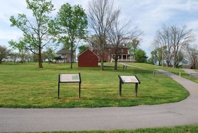
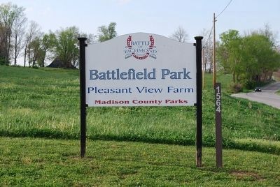
Location. 37° 39.844′ N, 84° 15.063′ W. Marker is near Richmond, Kentucky, in Madison County. Marker can be reached from Battlefield Memorial Highway (U.S. 421), on the right when traveling south. Marker is located on the grounds of the Battle of Richmond battlefield park at the Pleasant View Farm. Touch for map. Marker is in this post office area: Richmond KY 40475, United States of America. Touch for directions.
Other nearby markers. At least 8 other markers are within walking distance of this marker. A different marker also named The Battle of Richmond (here, next to this marker); Slavery at Pleasant View Farm (here, next to this marker); In Honor and Remembrance (a few steps from this marker); General Thomas Churchill (about 300 feet away, measured in a direct line); The Union Trail (about 300 feet away); "Good, Common-Sense Soldiering" (about 400 feet away); Sharpshooters Check The Union Right (about 500 feet away); Saving the Richmond Battlefield (about 600 feet away). Touch for a list and map of all markers in Richmond.
Credits. This page was last revised on June 16, 2016. It was originally submitted on June 7, 2010, by Lee Hattabaugh of Capshaw, Alabama. This page has been viewed 1,134 times since then and 25 times this year. Photos: 1, 2. submitted on June 7, 2010, by Lee Hattabaugh of Capshaw, Alabama. 3, 4, 5. submitted on July 24, 2015, by Brandon Fletcher of Chattanooga, Tennessee. 6. submitted on July 27, 2015, by Brandon Fletcher of Chattanooga, Tennessee. • Craig Swain was the editor who published this page.
