Gloucester Point in Gloucester County, Virginia — The American South (Mid-Atlantic)
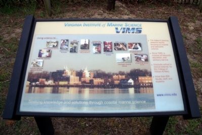
Virginia Institute of Marine Science
(VIMS)
Increase oyster and clam production
Model Bay dynamics
Identify aquatic disease
Reduce billfish by-catch
Trace contaminants
Understand food web production
Increase blue crab populations
Explore bottom dwellers
Restore seagrass
Strengthen natural stocks
Investigate coastal erosion
Understand nutrient cycles
The Nation’s leading research facility focusing on coastal and estuarine science
Since 1940, a mission of research, education, and advisory service
Graduate school in marine science for the College of William & Mary
More than 500 faculty, staff and students
www.vims.edu
Seeking knowledge and solutions through coastal marine science…
Topics. This historical marker is listed in these topic lists: Education • Environment • Natural Resources • Science & Medicine. A significant historical year for this entry is 1940.
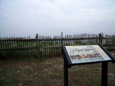
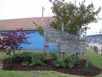
Location. 37° 14.751′ N, 76° 30.201′ W. Marker is in Gloucester Point, Virginia, in Gloucester County. Marker can be reached from the intersection of Greate Road (Virginia Route 1208) and Franklin Road. This marker is located on the Gloucester Point Beach. Touch for map. Marker is in this post office area: Gloucester Point VA 23062, United States of America. Touch for directions.
Other nearby markers. At least 8 other markers are within walking distance of this marker. Mother Nature Comes Calling (a few steps from this marker); Harvesting Nature's Bounty (about 300 feet away, measured in a direct line); Virginia's First Shots in the Civil War (about 300 feet away); Freedom is Won (about 400 feet away); To Get to the Other Side (about 400 feet away); Port of Call (about 400 feet away); a different marker also named Port of Call (about 500 feet away); Gloucester Point (approx. ¼ mile away). Touch for a list and map of all markers in Gloucester Point.
More about this marker. The panel contains several photos illustrating the various activities described in the text. The background is a photograph of the VIMS waterfront.
Also see . . . Virginia Institute of Marine Science (VIMS). The College of William & Mary (Submitted on June 7, 2010.)
Credits. This page was last revised on November 5, 2021. It was originally submitted on June 7, 2010, by Bernard Fisher of Richmond, Virginia. This page has been viewed 565 times since then and 12 times this year. Photos: 1, 2, 3. submitted on June 7, 2010, by Bernard Fisher of Richmond, Virginia.


