Near Bennettsville in Marlboro County, South Carolina — The American South (South Atlantic)
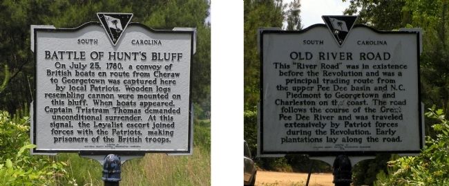
Battle of Hunt's Bluff / Old River Road
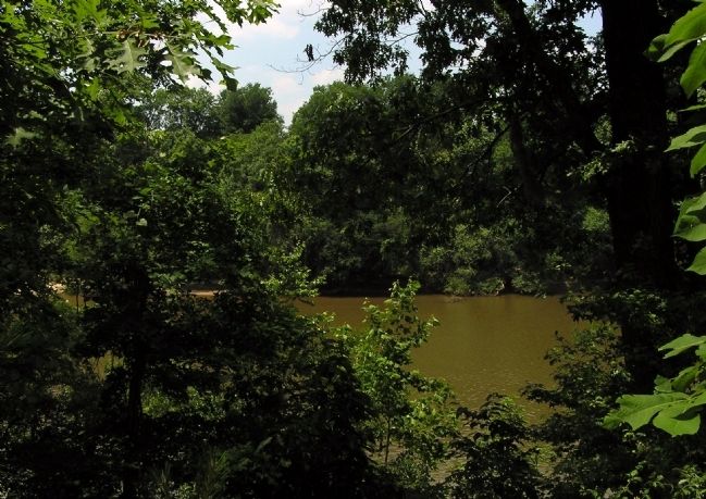
On July 25, 1780, a convoy of British boats en route from Cheraw to Georgetown was captured here by local Patriots. Wooden logs resembling cannon were mounted on this bluff. When boats appeared, Captain Tristram Thomas demanded unconditional surrender. At this signal, the Loyalist escort joined forces with the Patriots, making prisoners of the British troops.
Marker Reverse:
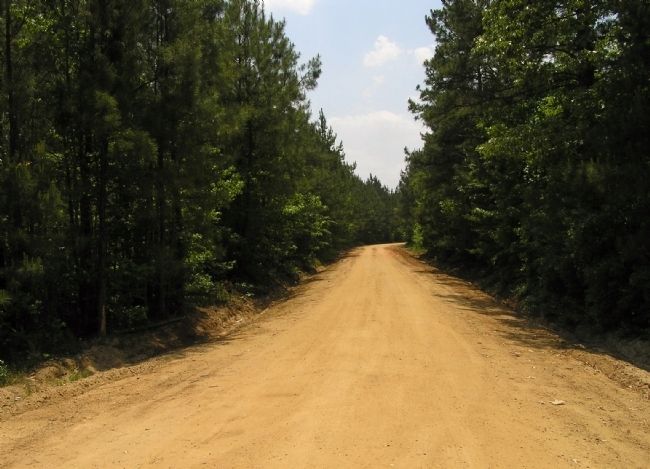
This "River Road" was in existence before the Revolution and was a principal trading route from the upper Pee Dee basin and N. C. Piedmont to Georgetown and Charleston on the coast. The road follows the course of the Great Pee Dee River and was traveled extensively by Patriot forces during the Revolution. Early plantations lay along the road.
Erected 1973 by Marlboro County Historic Preservation Commission. (Marker Number 35-14.)
Topics. This historical marker is listed in these topic lists: Roads & Vehicles • Settlements & Settlers • War, US Revolutionary. A significant historical month for this entry is July 1845.
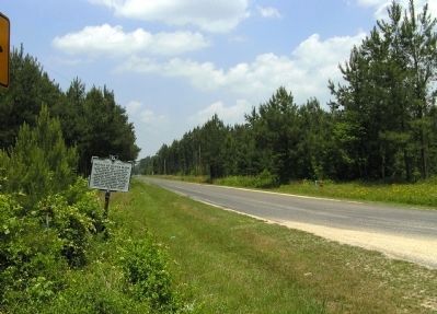
Location. 34° 29.196′ N, 79° 43.129′ W. Marker is near Bennettsville, South Carolina, in Marlboro County. Marker is at the intersection of Marlboro Road (County Road 57) and Hunt's Bluff Road (County Road 57), on the right when traveling south on Marlboro Road. Touch for map. Marker is in this post office area: Bennettsville SC 29512, United States of America. Touch for directions.
Other nearby markers. At least 8 other markers are within 7 miles of this marker, measured as the crow flies. Blenheim (approx. 4.1 miles away); Robert Blair Campbell / John Campbell (approx. 4.1 miles away); Brownsville Church (approx. 5.7 miles away); Brownsville Baptist Church (approx. 6.1 miles away); Abel Kolb's Murder / Welsh Neck Cemetery (approx. 6.9 miles away); Welsh Neck Settlement (approx. 6.9 miles away); Grave of Mason Lee / Will of Mason Lee (approx. 7 miles away); Marlborough Court House / Old River Road (approx. 7.1 miles away). Touch for a list and map of all markers in Bennettsville.
Related markers. Click here for a list of markers that are related to this marker. To better understand the relationship, study the markers shown.
Credits. This page was last revised on September 18, 2020. It was originally submitted on June 8, 2010, by PaulwC3 of Northern, Virginia. This page has been viewed 2,600 times since then and 99 times this year. Photos: 1, 2, 3, 4. submitted on June 8, 2010, by PaulwC3 of Northern, Virginia.


