Wrightsville in York County, Pennsylvania — The American Northeast (Mid-Atlantic)
The River: a Corridor and a Barrier
Lancaster-York Heritage Region
— Susquehanna River Water Trail —
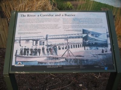
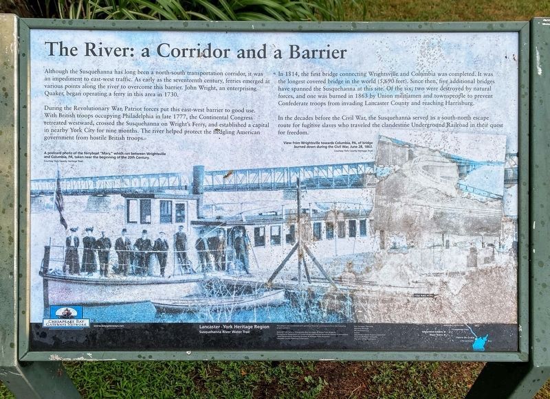
Although the Susquehanna has long been a north-south transportation corridor, it was an impediment to east-west traffic. As early as the seventeenth century,ferries emerged at various points along the river to overcome this barrier. John Wright, an enterprising Quaker, began operating a ferry in this area in 1730.
During the Revolutionary War, Patriot forces put this east-west barrier to good use. With British troops occupying Philadelphia in late 1777, the Continental Congress retreated westward, crossed the Susquehanna on Wright's Ferry, and established a capital in nearby York City for nine months. The river helped protect the fledgling American government from hostile British troops.
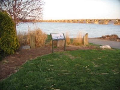
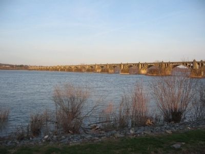
In 1814, the first bridge connecting Wrightsville and Columbia was completed. It was the longest covered bridge in the world (5,690 feet). Since then, five additional bridges have spanned the Susquehanna at this site. Of the six, two were destroyed by natural forces, and one was burned in 1863 by Union militiamen and townspeople to prevent Confederate forces from invading Lancaster County and reaching Harrisburg.
In the decades before the Civil War, the Susquehanna served as a south-north escape route for fugitive slaves who traveled the clandestine Underground Railroad in their quest for freedom.
Topics. This historical marker is listed in these topic lists: Bridges & Viaducts • War, US Civil • War, US Revolutionary • Waterways & Vessels. A significant historical year for this entry is 1730.
Location. 40° 1.72′ N, 76° 31.689′ W. Marker has been reported damaged. Marker is in Wrightsville, Pennsylvania, in York County. Marker is at the intersection of Walnut Street and North Front Street, on the right when traveling east on Walnut Street. Located at the end of Walnut Street, along the Susquehanna River Trail. Touch for map. Marker is in this post office area: Wrightsville PA 17368, United States of America. Touch for directions.
Other nearby markers. At least 8 other markers are within walking distance of this location. Necessary Destruction (a few steps from this marker); Wrightsville's Lime Kilns (about 500 feet away, measured in a direct line); The Old Post Office Building (approx. 0.2 miles away); Veterans Memorial Bridge (approx. 0.2 miles away); Gettysburg Campaign (approx. 0.2 miles away); Wrightsville (approx. ¼ mile away); American Legion Monument (approx. ¼ mile away); The Union Cemetery (approx. 0.3 miles away). Touch for a list and map of all markers in Wrightsville.
More about this marker. In the background of the marker is a copy of A postcard photo of the ferryboat "Mary," which ran between Wrightsville and Columbia, PA, taken near the beginning of the 20th Century. An inset photo on the right shows a View from Wrightsville towards Columbia, PA, of bridge burned down during the Civil War, June 28, 1863.
Courtesy York County Heritage Trust
Credits. This page was last revised on September 7, 2022. It was originally submitted on June 13, 2010, by Craig Swain of Leesburg, Virginia. This page has been viewed 1,244 times since then and 10 times this year. Last updated on April 6, 2021, by Carl Gordon Moore Jr. of North East, Maryland. Photos: 1. submitted on June 13, 2010, by Craig Swain of Leesburg, Virginia. 2. submitted on May 12, 2021, by Shane Oliver of Richmond, Virginia. 3, 4. submitted on June 13, 2010, by Craig Swain of Leesburg, Virginia. 5. submitted on April 16, 2022, by Dianne Bowders of Fayette Co., TN. • Bernard Fisher was the editor who published this page.
