Wraggborough in Charleston in Charleston County, South Carolina — The American South (South Atlantic)
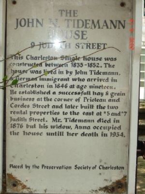
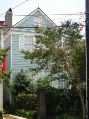
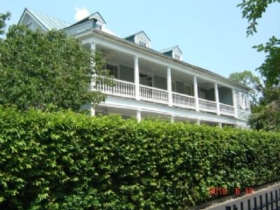
The John N. Tidemann House
9 Judith Street
Erected by Preservation Society of Charleston.
Topics and series. This historical marker is listed in this topic list: Notable Places. In addition, it is included in the South Carolina, Preservation Society of Charleston series list. A significant historical year for this entry is 1846.
Location. 32° 47.49′ N, 79° 56.046′ W. Marker is in Charleston, South Carolina, in Charleston County. It is in Wraggborough. Marker is at the intersection of Judith Street and Wraggborough Lane, on the left when traveling west on Judith Street. Touch for map. Marker is in this post office area: Charleston SC 29403, United States of America. Touch for directions.
Other nearby markers. At least 8 other markers are within walking distance of this marker. 28 Chapel Street (about 500 feet away, measured in a direct line); Hampstead Cemetery (approx. 0.2 miles away); The Civil War Submarine, H.L. Hunley (approx. 0.2 miles away); The Charleston Museum's Joseph Manigault House (approx. 0.2 miles away); The Joseph Manigault House (approx. 0.2 miles away); Wragg Square (approx. ¼ mile away); Federal Building (approx. ¼ mile away); Camden Depot (approx. ¼ mile away). Touch for a list and map of all markers in Charleston.
Credits. This page was last revised on February 16, 2023. It was originally submitted on June 14, 2010, by Michael Sean Nix of Spartanburg, South Carolina. This page has been viewed 746 times since then and 16 times this year. Photos: 1, 2, 3. submitted on June 14, 2010, by Michael Sean Nix of Spartanburg, South Carolina. • Bill Pfingsten was the editor who published this page.


