Chase City in Mecklenburg County, Virginia — The American South (Mid-Atlantic)
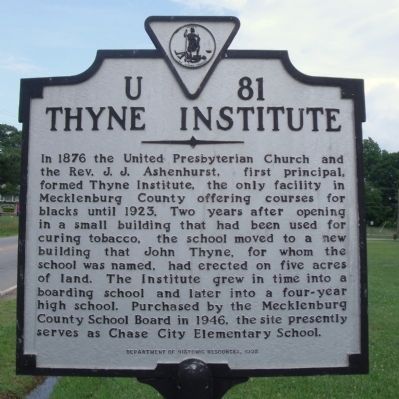
Thyne Institute
In 1876 the United Presbyterian Church and the Rev. J. J. Ashenhurst, first principal, formed Thyne Institute, the only facility in Mecklenburg County offering courses for blacks until 1923. Two years after opening in a small building that had been used for curing tobacco, the school moved to a new building that John Thyne, for whom the school was named, had erected on five acres of land. The Institute grew in time into a boarding school and later into a four-year high school. Purchased by the Mecklenburg County School Board in 1946, the site presently serves as Chase City Elementary School.
Erected 1998 by Department of Historic Resources. (Marker Number U-81.)
Topics and series. This historical marker is listed in these topic lists: African Americans • Churches & Religion • Civil Rights • Education. In addition, it is included in the Virginia Department of Historic Resources (DHR) series list. A significant historical year for this entry is 1876.
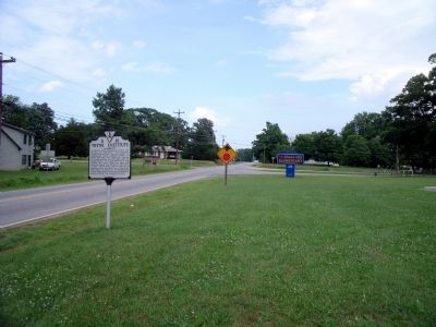
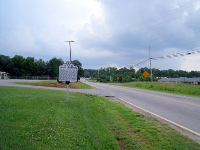
Location. 36° 48.987′ N, 78° 28.156′ W. Marker is in Chase City, Virginia, in Mecklenburg County. Marker is at the intersection of Highway Forty Seven (Virginia Route 47) and Boyd Street, on the right when traveling east on Highway Forty Seven. Touch for map. Marker is in this post office area: Chase City VA 23924, United States of America. Touch for directions.
Other nearby markers. At least 8 other markers are within 8 miles of this marker, measured as the crow flies. A different marker also named Thyne Institute (approx. 0.2 miles away); Christiansville (approx. 1.2 miles away); Sgt. Earle D. Gregory (approx. 1.3 miles away); Lunenburg County / Mecklenburg County (approx. 4 miles away); Charlotte County / Mecklenburg County (approx. 5˝ miles away); Paul Carrington (approx. 7.3 miles away); Roanoke Plantation (approx. 7.3 miles away); Staunton Bridge Action (approx. 7.3 miles away). Touch for a list and map of all markers in Chase City.
Credits. This page was last revised on July 26, 2022. It was originally submitted on June 14, 2010, by Bernard Fisher of Richmond, Virginia. This page has been viewed 977 times since then and 28 times this year. Photos: 1, 2, 3. submitted on June 14, 2010, by Bernard Fisher of Richmond, Virginia.


