Scarsdale in Westchester County, New York — The American Northeast (Mid-Atlantic)
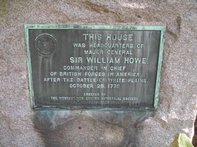
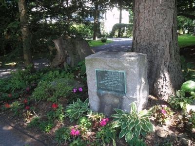
Gen. Howe’s Headquarters
was headquarters of
Major General
Sir William Howe,
Commander in Chief
of British forces in America,
after the Battle of White Plains,
October 28, 1776.
Erected 1929 by The Westchester County Historical Society, Scarsdale Chapter.
Topics. This historical marker is listed in this topic list: War, US Revolutionary. A significant historical month for this entry is October 1981.
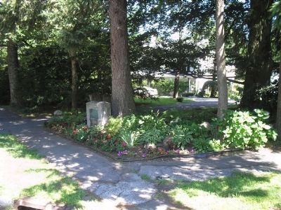
Location. 41° 0.244′ N, 73° 46.824′ W. Marker is in Scarsdale, New York, in Westchester County. Marker is at the intersection of Mamaroneck Road and Garden Road, on the left when traveling south on Mamaroneck Road. Touch for map. Marker is in this post office area: Scarsdale NY 10583, United States of America. Touch for directions.
Other nearby markers. At least 8 other markers are within 2 miles of this marker, measured as the crow flies. Site of Daniel D. Tompkins Birthplace (approx. half a mile away); Wayside Inn (approx. 1.1 miles away); White Plains Roll of Honor (approx. 1.3 miles away); Scarsdale Bicentennial Time Capsule (approx. 1.4 miles away); Battle of White Plains (approx. 1.8 miles away); Battle Park (approx. 1.8 miles away); a different marker also named Battle of White Plains (approx. 1.8 miles away); a different marker also named Battle of White Plains (approx. 1.8 miles away). Touch for a list and map of all markers in Scarsdale.
Also see . . . The Battle of White Plains. The American Revolutionary War website. (Submitted on June 19, 2010, by Bill Coughlin of Woodland Park, New Jersey.)
Credits. This page was last revised on June 16, 2016. It was originally submitted on June 19, 2010, by Bill Coughlin of Woodland Park, New Jersey. This page has been viewed 1,300 times since then and 56 times this year. Photos: 1, 2, 3, 4. submitted on June 19, 2010, by Bill Coughlin of Woodland Park, New Jersey.


