Corpus Christi in Nueces County, Texas — The American South (West South Central)
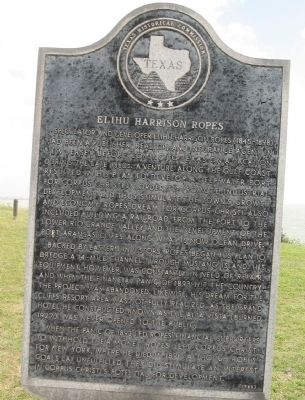
Elihu Harrison Ropes
Backed by Eastern investors, Ropes began his plan to dredge a 14-mile channel through Mustang Island. His equipment, however, was constantly in need of repair, and when the financial Panic of 1893 hit the country, the project was abandoned. Likewise, his dream for the cliffs resort area was not fully realized, as the grand hotel he constructed, known as the Alta Vista (burned 1927), was never opened to the public.
When the Panic of 1893 led Ropes' financial supporters to withhold their money, Ropes left Corpus Christi for New York, where he died in 1898. Although Ropes' goals lay unfulfilled, they did stimulate an interest in Corpus Christi's potential for development.
Erected 1985 by Texas Historical Commission. (Marker Number 6331.)
Topics. This historical marker is listed in these topic lists: Communications • Industry & Commerce • Railroads & Streetcars • Settlements & Settlers • Waterways & Vessels. A significant historical year for this entry is 1893.
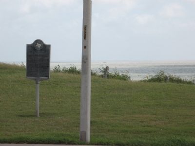
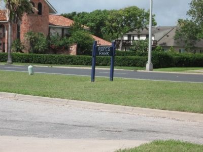
Location. 27° 45.247′ N, 97° 22.59′ W. Marker is in Corpus Christi, Texas, in Nueces County. Marker is on Ocean Drive north of Ropes Street, on the right when traveling north. Inside Ropes Park. Touch for map. Marker is in this post office area: Corpus Christi TX 78401, United States of America. Touch for directions.
Other nearby markers. At least 8 other markers are within 2 miles of this marker, measured as the crow flies. Site of Alta Vista Hotel (approx. half a mile away); Clara Driscoll, the Driscoll Foundation & Driscoll Children's Hospital (approx. 0.7 miles away); First Baptist Church of Corpus Christi (approx. 0.8 miles away); Alonzo Álvarez de Pineda (approx. 1.1 miles away); Sisters of the Incarnate Word (approx. 1.1 miles away); Camp Scurry (approx. 1.4 miles away); General W.W. Sterling (approx. 1½ miles away); Moses Menger Elementary School (approx. 1.6 miles away). Touch for a list and map of all markers in Corpus Christi.
Credits. This page was last revised on December 22, 2019. It was originally submitted on June 21, 2010, by Steve Gustafson of Lufkin, Texas. This page has been viewed 1,173 times since then and 27 times this year. Photos: 1, 2, 3. submitted on June 21, 2010, by Steve Gustafson of Lufkin, Texas. • Bill Pfingsten was the editor who published this page.


