Near Frederick in Frederick County, Maryland — The American Northeast (Mid-Atlantic)
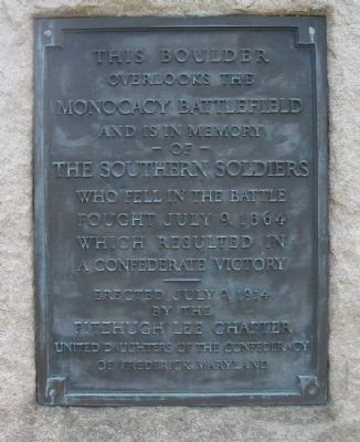
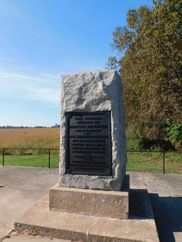
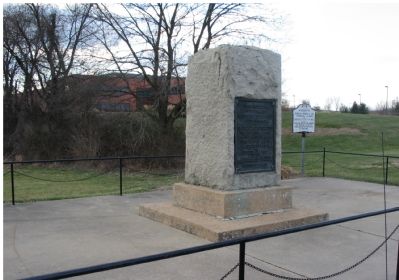
This Boulder Overlooks the Monocacy Battlefield
Inscription.
– of –
The Southern Solders
who fell in the battle
fought July 9, 1864
which resulted in
a Confederate victory
———
Erected July 9, 1914
by the
Fitzhugh Lee Chapter
United Daughters of the Confederacy
of Frederick, Maryland
Erected 1914 by United Daughters of the Confederacy.
Topics and series. This memorial is listed in this topic list: War, US Civil. In addition, it is included in the United Daughters of the Confederacy series list.
Location. 39° 22.585′ N, 77° 23.821′ W. Marker is near Frederick, Maryland, in Frederick County. Memorial is on Urbana Pike (State Highway 355), on the right when traveling south. Located at a pull off, just where Urbana Pike narrows down to two lane traffic as it enters the Monocacy National Battlefield. This was stop one on the auto tour of the Monocacy Battlefield before the Best Farm was fully opened to the public. However, parking at the stop is limited and caution is advised. Touch for map. Marker is in this post office area: Frederick MD 21704, United States of America. Touch for directions.
Other nearby markers. At least 8 other markers are within walking distance of this marker. Battle of Monocacy (here, next to this marker); Headquarters of Generals Robert E. Lee, "Stonewall" Jackson and Longstreet Sept. 6-9, 1862. (here, next to this marker); Monocacy Battlefield (about 500 feet away, measured in a direct line); The Lost Order (about 500 feet away); 1862 Antietam Campaign (about 500 feet away); Battle Begins (about 500 feet away); A Bold Plan (about 600 feet away); a different marker also named The Lost Order (approx. 0.4 miles away). Touch for a list and map of all markers in Frederick.
Related markers. Click here for a list of markers that are related to this marker. This marker is among several describing the battle of Monocacy, to "tour" the battlefield using the related HMBd markers sites.
Also see . . . Monocacy National Battlefield. From the National Park Service. (Submitted on October 29, 2007, by Craig Swain of Leesburg, Virginia.)
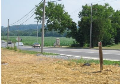
Photographed By Craig Swain, July 7, 2007
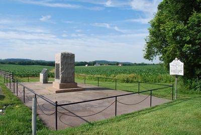
4. From the Entrance to the Visitors Center Looking South
From the Visitors Center, the site of the UDC and Maryland Monuments is tour stop number one. In the background on the right hand side of the road is the Best Farm. At the time of the battle, the ground between the monuments and the farm lane (which can barely be seen splitting the corn to the right of Urbana Pike) was actually Best Grove, a stand of trees.
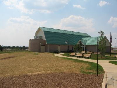
Photographed By Craig Swain, July 7, 2007
6. The New Monocacy National Battlefield Visitors Center
Opened in June 2007, this new visitors center was designed to resemble a farm building, but don't let the exterior fool you. Inside are interactive displays, an electronic map, and interpretive displays. The overlook affords a view of the Best Farm and several other prominent points of the battle.
Credits. This page was last revised on September 11, 2022. It was originally submitted on October 29, 2007, by Craig Swain of Leesburg, Virginia. This page has been viewed 1,911 times since then and 18 times this year. Last updated on September 4, 2020, by Bradley Owen of Morgantown, West Virginia. Photos: 1. submitted on October 29, 2007, by Craig Swain of Leesburg, Virginia. 2. submitted on April 16, 2021, by Bradley Owen of Morgantown, West Virginia. 3, 4. submitted on October 29, 2007, by Craig Swain of Leesburg, Virginia. 5. submitted on August 9, 2015, by Brandon Fletcher of Chattanooga, Tennessee. 6. submitted on October 29, 2007, by Craig Swain of Leesburg, Virginia. • Bill Pfingsten was the editor who published this page.
