Bound Brook in Somerset County, New Jersey — The American Northeast (Mid-Atlantic)
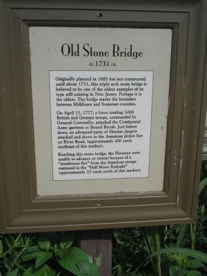
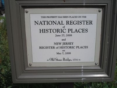
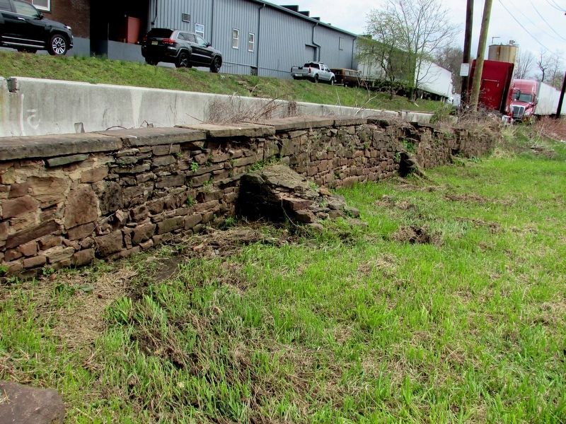
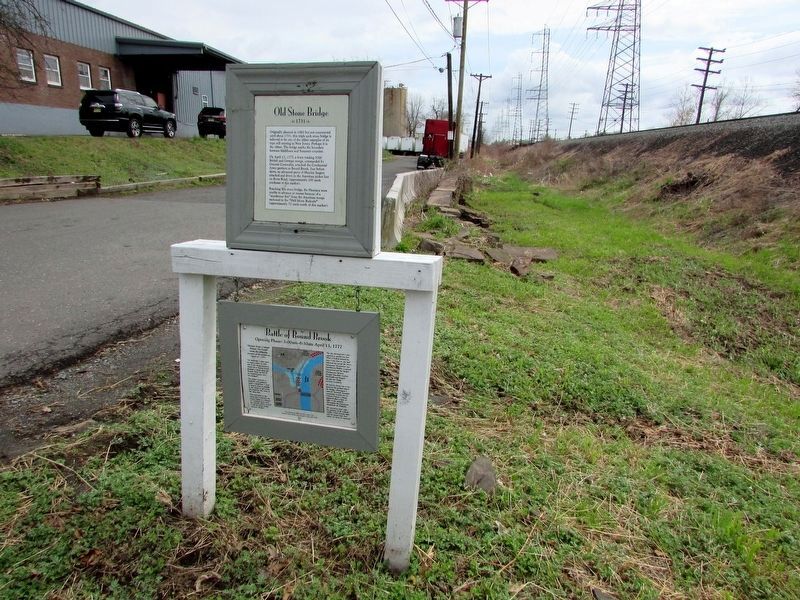
Old Stone Bridge
On April 13, 1777, a force totaling 3000 British and German troops, commanded by General Cornwallis, attacked the Continental Army garrison at Bound Brook. Just before dawn, an advanced party of Hessian Jaegers attacked and drove in the American picket line on River Road, (approximately 200 yards southeast of this marker).
Reaching this stone bridge, the Hessians were unable to advance or retreat because of a “murderous fire” from the American troops stationed in the “Half Moon Redoubt” (approximately 70 yards north of this marker).
Topics. This historical marker is listed in these topic lists: Bridges & Viaducts • War, US Revolutionary. A significant historical month for this entry is April 1836.
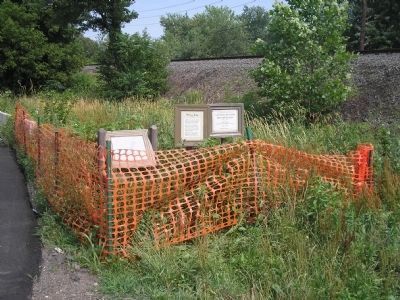
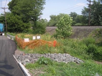
Location. 40° 33.623′ N, 74° 31.621′ W. Marker is in Bound Brook, New Jersey, in Somerset County. Marker is on Railroad Avenue east of S Main Street, on the right when traveling east. Touch for map. Marker is in this post office area: Bound Brook NJ 08805, United States of America. Touch for directions.
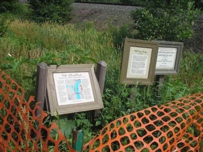
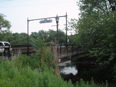
Other nearby markers. At least 8 other markers are within walking distance of this marker. Battle of Bound Brook (here, next to this marker); a different marker also named Battle of Bound Brook (about 600 feet away, measured in a direct line); Queen’s Bridge (about 600 feet away); Bound Brook World War I Memorial (approx. 0.2 miles away); Van Horn Plaza (approx. 0.2 miles away); Battle of Boundbrook (approx. 0.2 miles away); Locks on the D&R Canal (approx. ¼ mile away); Delaware & Raritan Canal State Park (approx. ¼ mile away). Touch for a list and map of all markers in Bound Brook.
Also see . . .
1. The Battle of Bound Brook. The American Revolutionary War website. (Submitted on June 26, 2010, by Bill Coughlin of Woodland Park, New Jersey.)
2. The Battle of Bound Brook. New Jersey’s Great Northwest Skyways. (Submitted on June 26, 2010, by Bill Coughlin of Woodland Park, New Jersey.)
Credits. This page was last revised on April 15, 2019. It was originally submitted on June 26, 2010, by Bill Coughlin of Woodland Park, New Jersey. This page has been viewed 2,123 times since then and 100 times this year. Photos: 1, 2, 3, 4, 5. submitted on June 26, 2010, by Bill Coughlin of Woodland Park, New Jersey. 6, 7. submitted on April 15, 2019, by Bill Coughlin of Woodland Park, New Jersey. 8. submitted on June 26, 2010, by Bill Coughlin of Woodland Park, New Jersey.
