Westfield in Union County, New Jersey — The American Northeast (Mid-Atlantic)
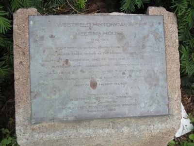
Meeting House
Westfield Historical Site
— 1740 - 1804 —
Researched By
Westfield Historical Society
Plaque Donated By
New Jersey Bell Telephone Company
September, 1976
Erected 1976.
Topics. This historical marker is listed in these topic lists: Colonial Era • War, US Revolutionary. A significant historical month for this entry is September 1976.
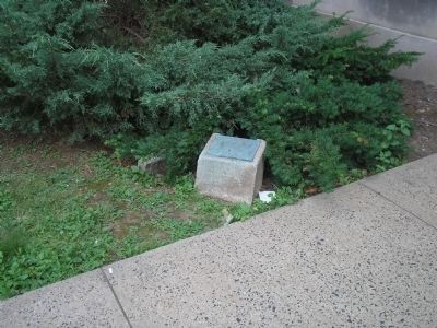
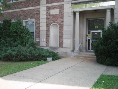
Location. 40° 39.201′ N, 74° 20.854′ W. Marker is in Westfield, New Jersey, in Union County. Marker is on E Mountain Avenue, on the left when traveling north. Touch for map. Marker is in this post office area: Westfield NJ 07090, United States of America. Touch for directions.
Other nearby markers. At least 8 other markers are within walking distance of this marker. Men of Westfield (within shouting distance of this marker); Presbyterian Church in Westfield (within shouting distance of this marker); Revolutionary War Soldiers (within shouting distance of this marker); Downer Well Cap (within shouting distance of this marker); Revolutionary Cemetery (within shouting distance of this marker); Westfield Church (about 300 feet away, measured in a direct line); Westfield (approx. ¼ mile away); Gallows Hill (approx. one mile away). Touch for a list and map of all markers in Westfield.
Credits. This page was last revised on June 16, 2016. It was originally submitted on June 27, 2010, by Bill Coughlin of Woodland Park, New Jersey. This page has been viewed 745 times since then and 25 times this year. Photos: 1, 2, 3. submitted on June 27, 2010, by Bill Coughlin of Woodland Park, New Jersey.


