Mohawk in Herkimer County, New York — The American Northeast (Mid-Atlantic)
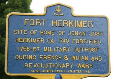
Fort Herkimer
Herkimer ca. 1740 fortified
1756-57 military outpost
During French & Indian and
Revolutionary Wars
Erected by Stone Arabia Battle Chapter SAR.
Topics. This historical marker is listed in these topic lists: Forts and Castles • Settlements & Settlers • War, French and Indian • War, US Revolutionary. A significant historical year for this entry is 1740.
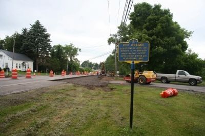
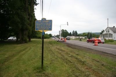
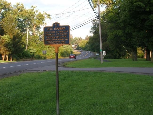
Location. 43° 1.109′ N, 74° 57.647′ W. Marker is in Mohawk, New York, in Herkimer County. Marker is on Highway 5S, on the left when traveling east. This historical marker is located on the south side of the Mohawk River, opposite the mouth of West Canada Creek, which flows into the Mohawk River from the north. Touch for map. Marker is in this post office area: Mohawk NY 13407, United States of America. Touch for directions.
Other nearby markers. At least 8 other markers are within 2 miles of this marker, measured as the crow flies. Site of Fort Herkimer (approx. 0.3 miles away); Lieutenant Adam F. Helmer (approx. 0.3 miles away); a different marker also named Fort Herkimer (approx. 0.3 miles away); Here Was Born Nicholas Herkimer (approx. 0.3 miles away); General Nicolas Herrhheimer (approx. 1˝ miles away); Fred'ck Staring (approx. 1˝ miles away); Early Village Burying Ground (approx. 1˝ miles away); The Thirty-Fourth Regiment (approx. 1.6 miles away). Touch for a list and map of all markers in Mohawk.
Also see . . .
1. Fort Herkimer. This a link to a site entitled a Revolutionary Day Along the Historic Mohawk Turnpike. (Submitted on June 30, 2010, by Dale K. Benington of Toledo, Ohio.)
2. Old Fort Herkimer. This link provides access to information regarding Fort Herkimer that is provided by the New York State Military Museum. (Submitted on June 30, 2010, by Dale K. Benington of Toledo, Ohio.)
3. Fort Herkimer. From Wikipedia, the free encyclopedia (Submitted on June 30, 2010, by Dale K. Benington of Toledo, Ohio.)
Credits. This page was last revised on June 16, 2016. It was originally submitted on June 30, 2010, by Dale K. Benington of Toledo, Ohio. This page has been viewed 1,394 times since then and 36 times this year. Photos: 1, 2, 3. submitted on June 30, 2010, by Dale K. Benington of Toledo, Ohio. 4. submitted on June 1, 2011, by Howard C. Ohlhous of Duanesburg, New York.


